
References
Explore our latest projects and partnerships and get to know how Plan4Better and GOAT are enabling sustainable planning.
- Retail
- Cities & Government
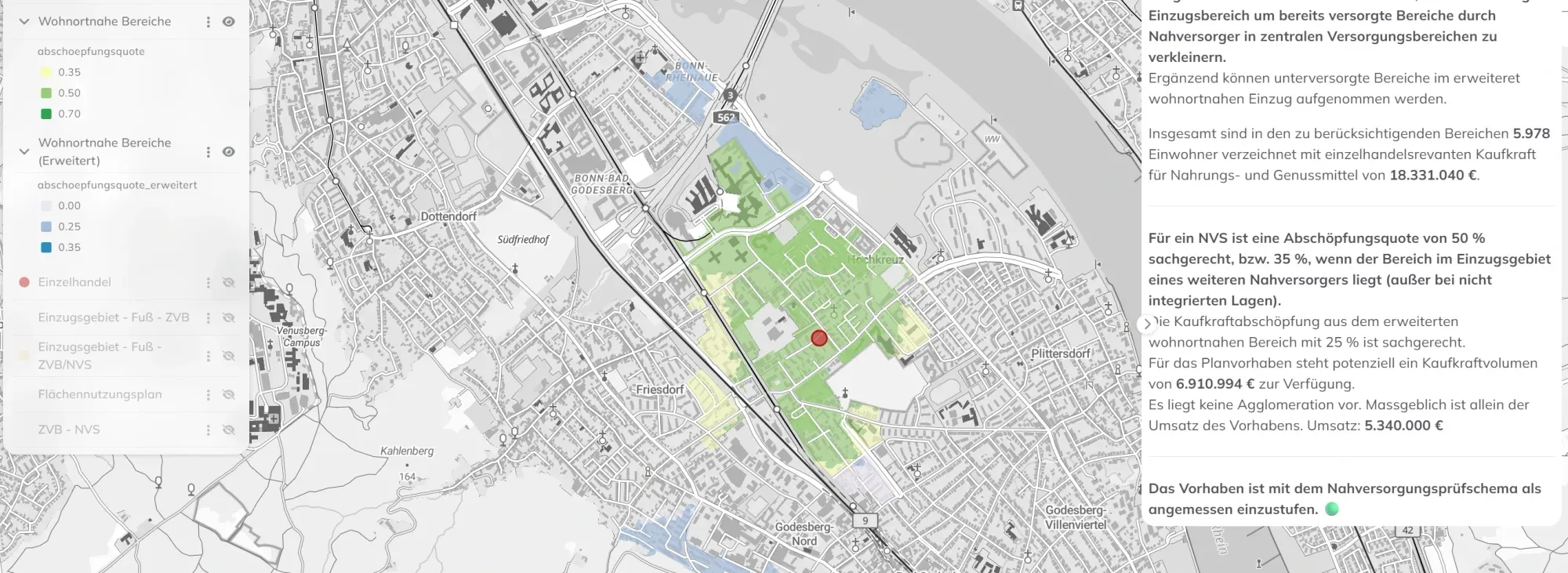
Retail planning in Bonn: data-driven GIS analysis with the WebGIS GOAT
Plan4Better is developing a GIS-based retail planning tool for the City of Bonn — enabling automated accessibility analyses, local supply assessments, and data-driven decisions fully integrated into the Urban Data Platform.
Read the reference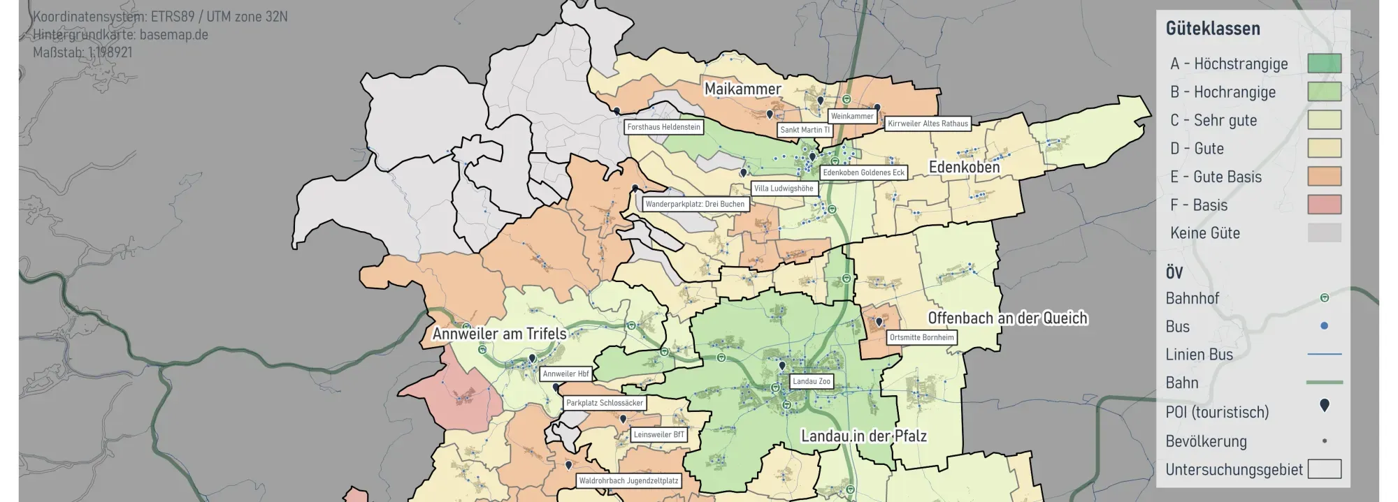
- Cities & Government
- Mobility Planning
Mobility Analyses for Südliche Weinstraße
On behalf of the District of Südliche Weinstraße, we conducted a public transport (ÖPNV) study on the accessibility of tourist destinations by local transit.
Read the reference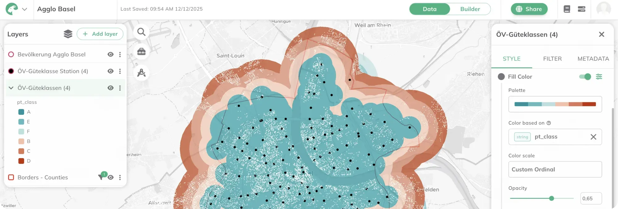
- Cities & Government
- Mobility Planning
Cross-border analyses with the WebGIS GOAT at Agglo Basel
Agglo Basel now uses the WebGIS GOAT for cross-border accessibility analyses. To address local requirements, additional data have been integrated into GOAT.
Read the reference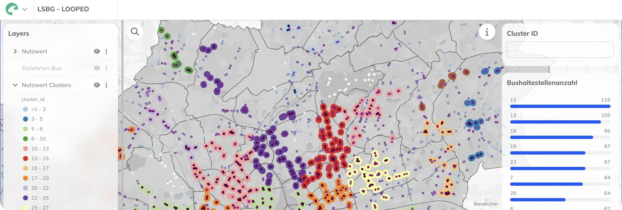
- Cities & Government
- Mobility Planning
Location Analysis for Bus Stops in Hamburg with WebGIS GOAT
The Hamburg State Agency for Roads, Bridges and Waterways (LSBG) is tasked with systematically retrofitting approximately 2,400 bus stops for barrier-free access. The automated, standardized multi-criteria analysis required for this is being developed using the WebGIS GOAT.
Read the reference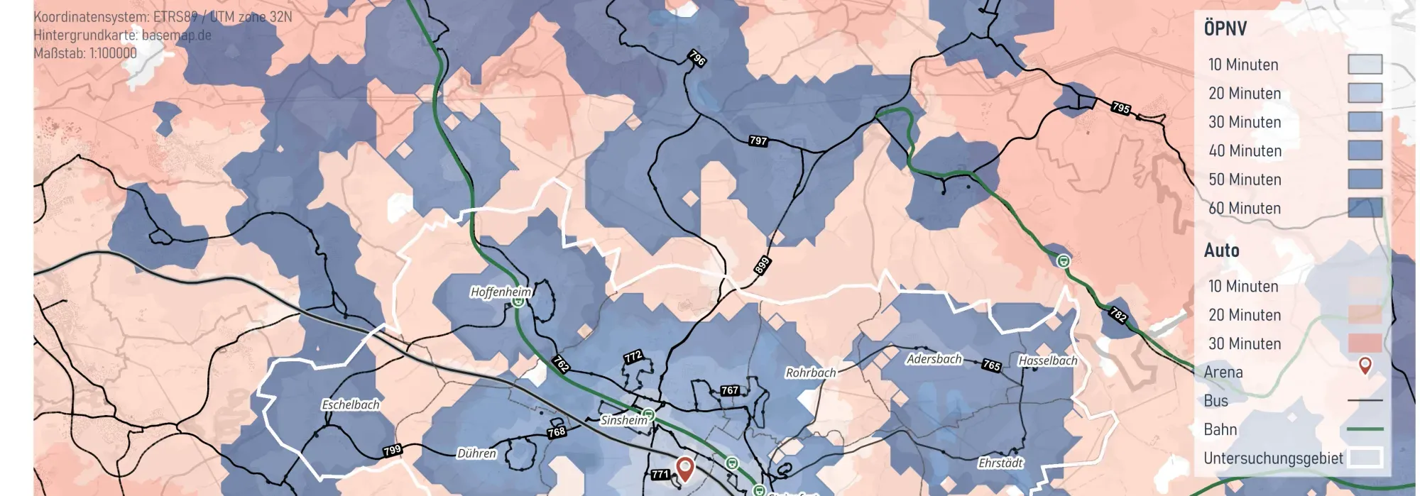
- Cities & Government
- Mobility Planning
Integrated Mobility Analysis for the City of Sinsheim
The City of Sinsheim commissioned Plan4Better to carry out an integrated mobility analysis of cycling, walking and public transport to reduce the high dependency on private motor traffic and identify improvement potentials for the city’s various transport modes.
Read the reference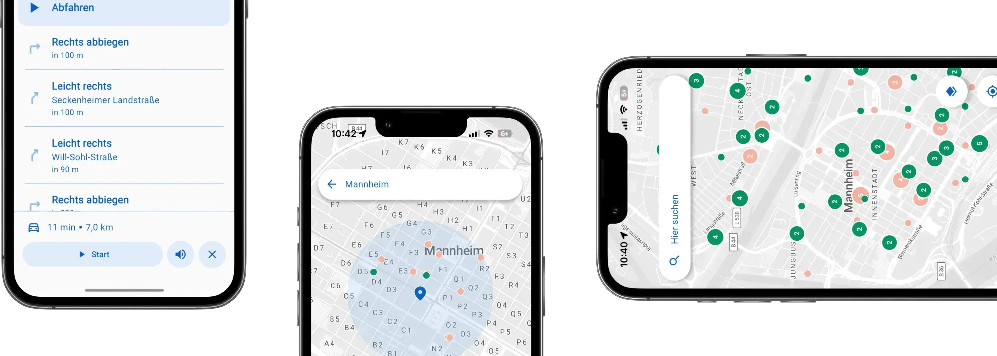
- Mobility Planning
Park-Stark - App for Locating Handicap Parking Spaces
Enhancing mobility for people with disabilities goes beyond physical spaces—it calls for innovative digital tools. Together with the city of Mannheim, we've created an accessible app that provides real-time information on available disabled parking spots and guides users directly to them, fostering greater independence in urban mobility.
Read the reference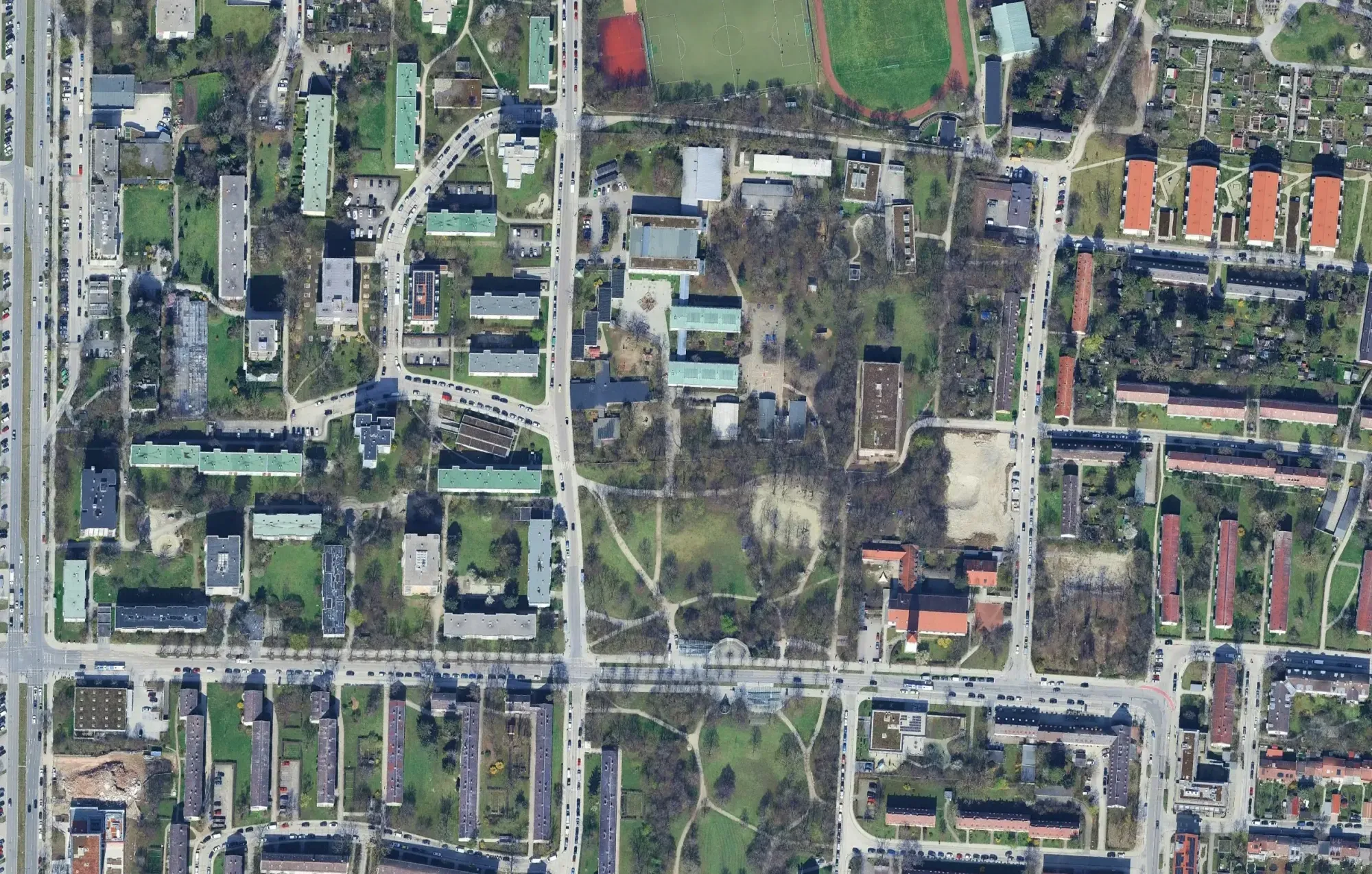
- Cities & Government
- Mobility Planning
- Real Estate
FLEKS - High-resolution determination of minimum parking requirements for the City of Munich
The FLEKS project aims to develop a method that determines parking space needs based on urban planning, socio-demographic, and mobility-related parameters, and integrates it into an integrated mobility concept.
Read the reference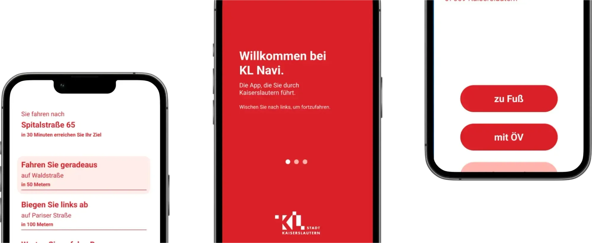
- Mobility Planning
Navi4all - A pilot navigation app for the city of Kaiserlautern
Planning cities today means much more than just arranging streets and buildings; apps decisively shape how we experience urban life. Together with the city of Kaiserslautern, we are creating an app that aims to help blind and visually impaired people navigate the city more easily.
Read the reference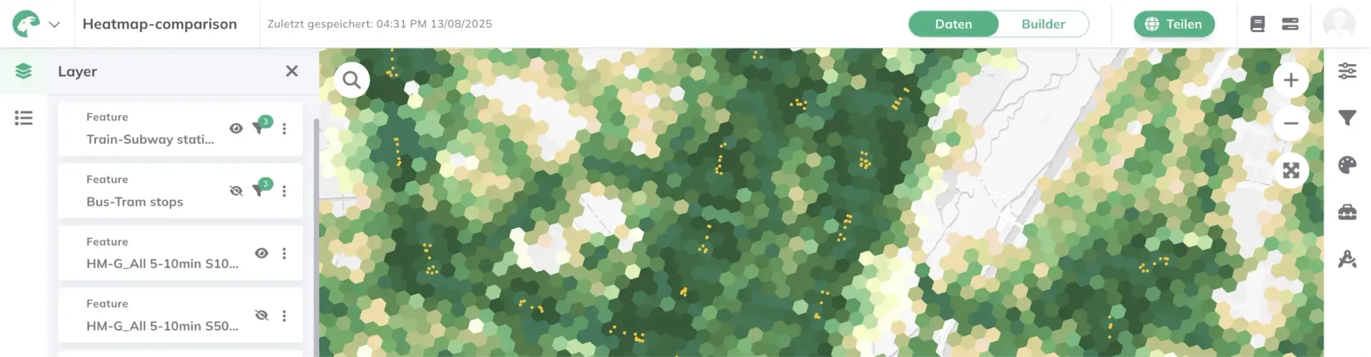
- Cities & Government
- Mobility Planning
GOAT 3.0
Development of new GOAT functionalities for public transport planning, green space planning, essential services, and the 15-minute city.
Read the reference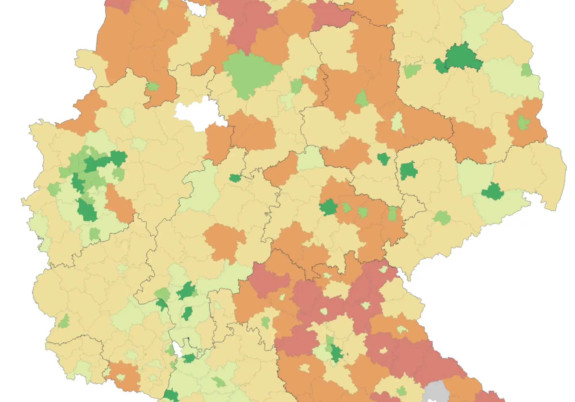
- Mobility Planning
Greenpeace study on the quality of public transportation in Germany
The aim of the study is a systematic and data-driven overview of the quality and dynamics of public transportation at the municipal level.
Read the reference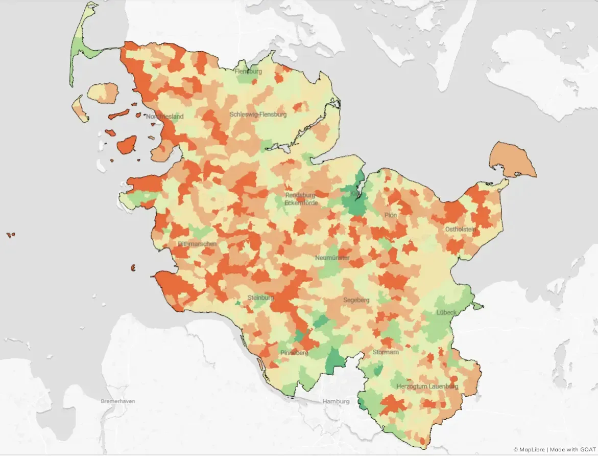
- Mobility Planning
Calculation of public transport quality in Schleswig-Holstein
For NAH.SH, we evaluated the quality of local public transport (ÖPNV) in Schleswig-Holstein, taking into account both traditional scheduled services and on-demand services.
Read the reference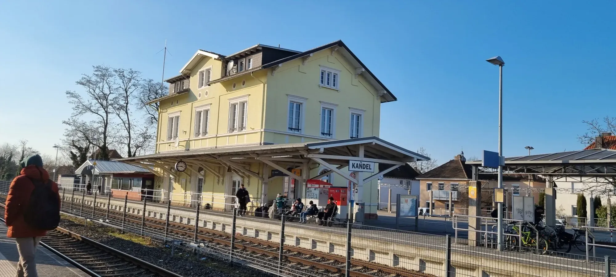
- Cities & Government
- Mobility Planning
Mobility Concept in Town of Kandel
The Mobility Focus Concept for the city of Kandel aims to reduce traffic-related emissions and promote sustainable mobility by improving the cycling and pedestrian network, enhancing public transport, and integrating new mobility services.
Read the reference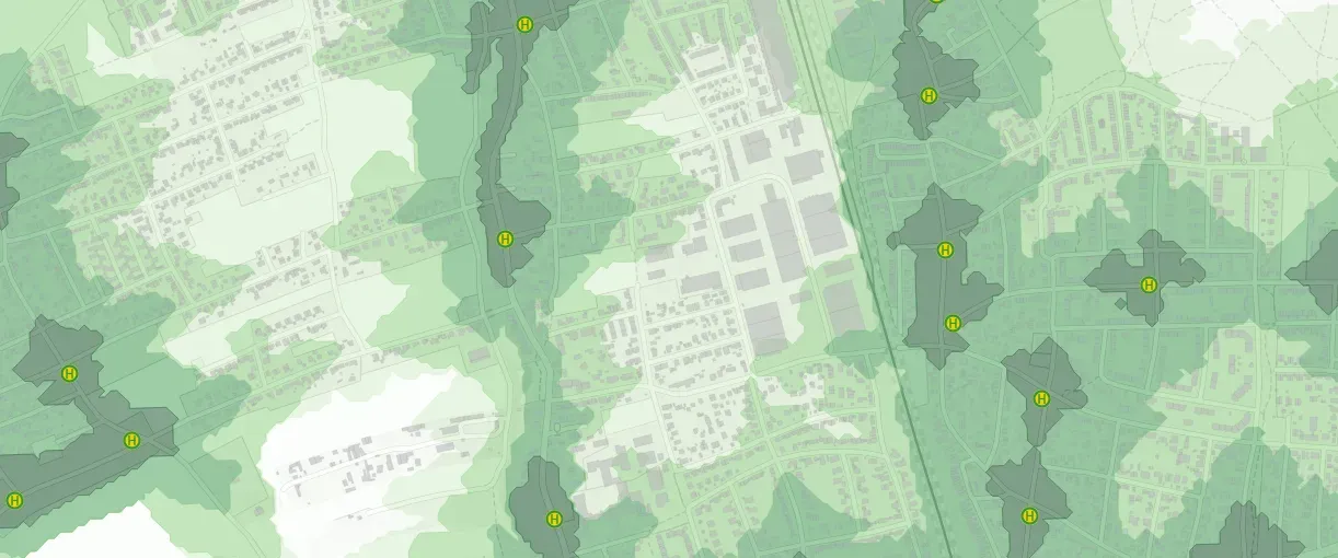
- Cities & Government
- Mobility Planning
Active mobility concept for the Munich district of Allach-Untermenzing
The active mobility concept for Allach-Untermenzing combines detailed data analysis with active citizen participation to develop sustainable, tailored mobility solutions that directly address the everyday needs of local residents.
Read the reference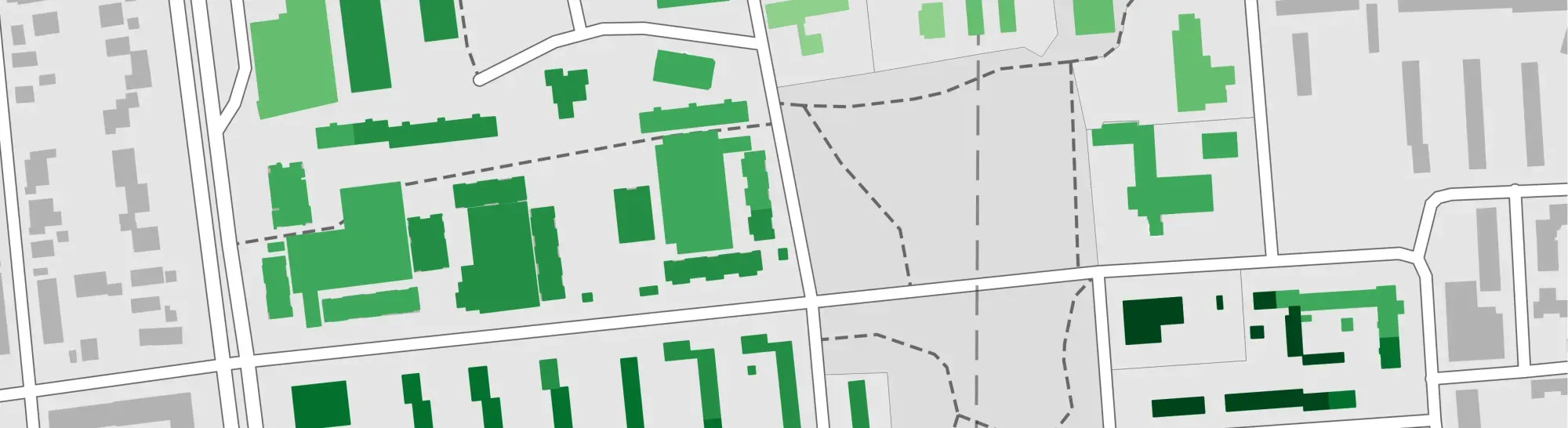
- Mobility Planning
Harthof's Integrated, Innovative Shared Mobility Concept
This project is developing a transferable shared mobility concept for the Harthof district of Munich that integrates public and private services using data-driven methods and stakeholder participation.
Read the reference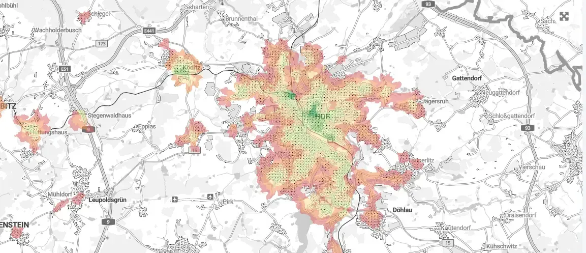
- Mobility Planning
EMILIA - Optimization of intermodal transport in rural areas
The EMILIA project develops digital tools for planning, simulating, and optimizing intermodal transport systems in order to create sustainable and time-efficient mobility solutions in rural areas.
Read the reference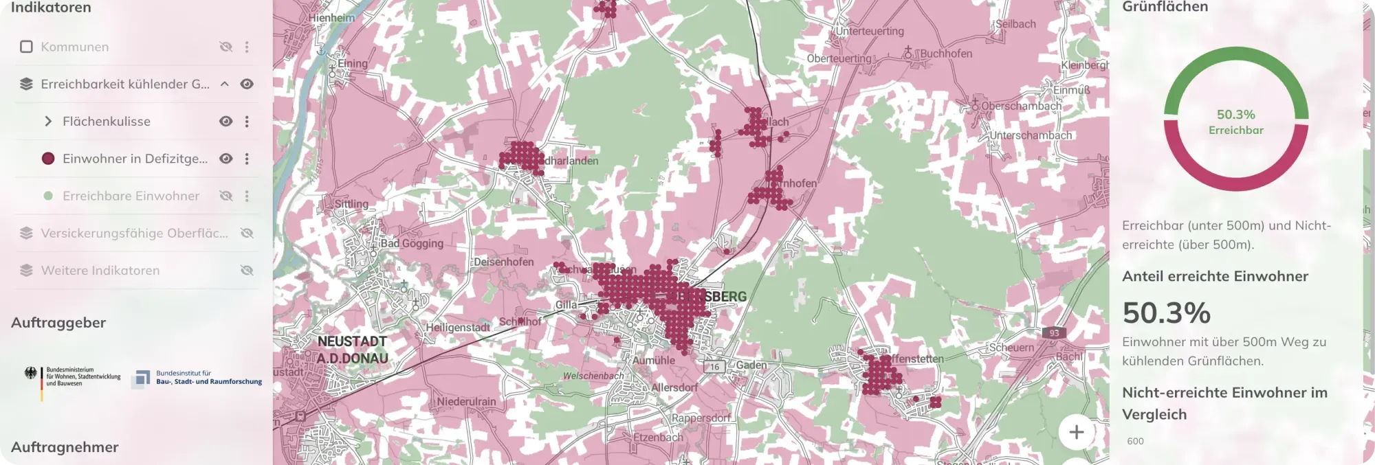
- Sustainability & Climate Risk
- Cities & Government
Stadtklimadashboard – Application of Indicators for Urban Climate Adaptation
The Federal Institute for Research on Building, Urban Affairs, and Spatial Development (BBSR) has commissioned the IÖR, in cooperation with Plan4Better, LUP, and bauchplan, to develop an interactive WebGIS dashboard that provides municipalities, state governments, and federal authorities with data-driven support for planning and evaluating climate adaptation measures.
Read the reference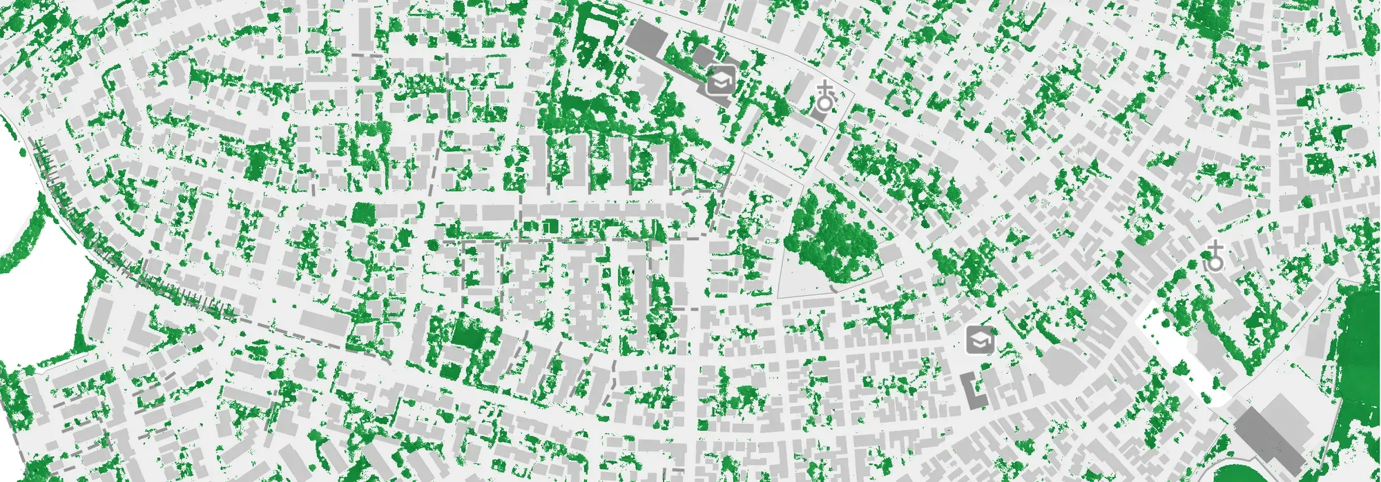
- Energy
Energy District Concept for Altrip
As part of an integrated district concept for the municipality of Altrip (Rhineland-Palatinate), comprehensive analyses and strategies were developed to improve the overall energy, urban planning, and climatic situation.
Read the reference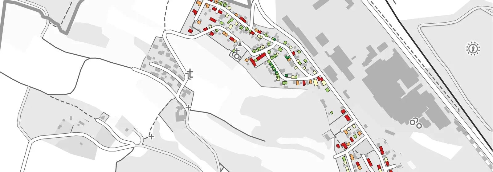
- Energy
Energy District Concept for the City of Amberg
The creation of a heat atlas for the redevelopment area Luitpoldhöhe forms the core of the project aimed at improving energy efficiency and tapping into new energy potential for heat supply.
Read the reference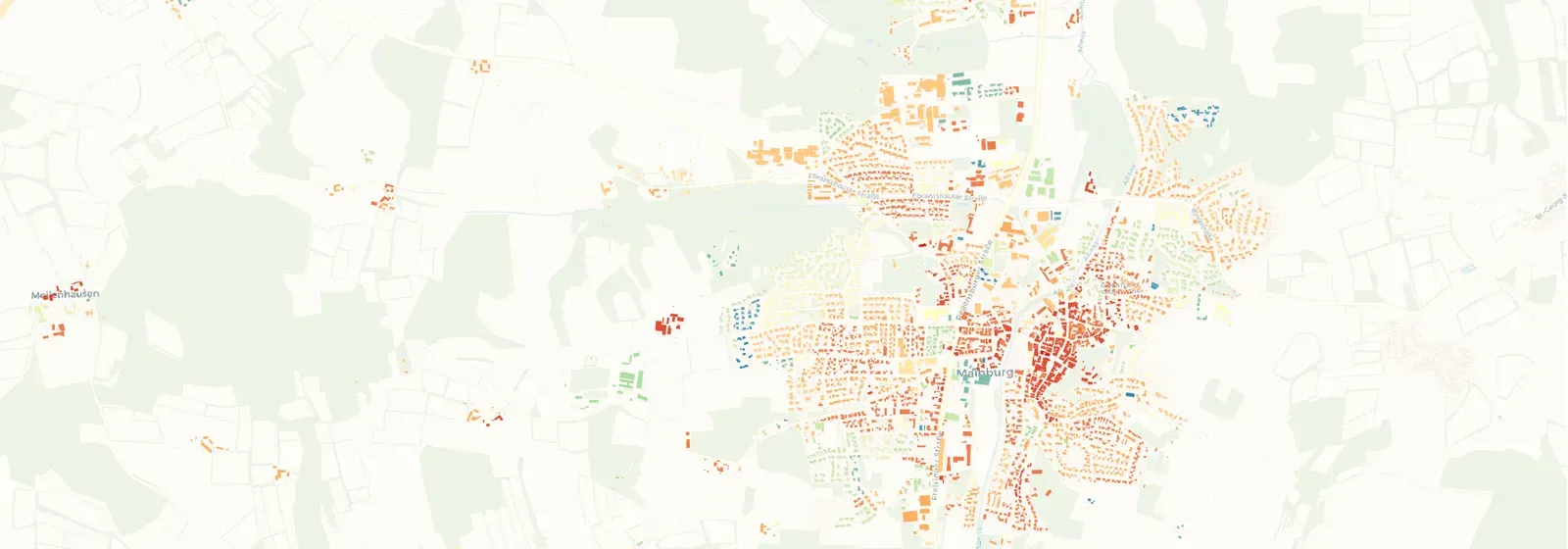
- Energy
- Cities & Government
Municipal Heating Plan for the City of Mainburg
Plan4Better, in collaboration with a partner, is developing a municipal heating plan for the City of Mainburg to enable greenhouse gas-neutral heat supply by 2045.
Read the reference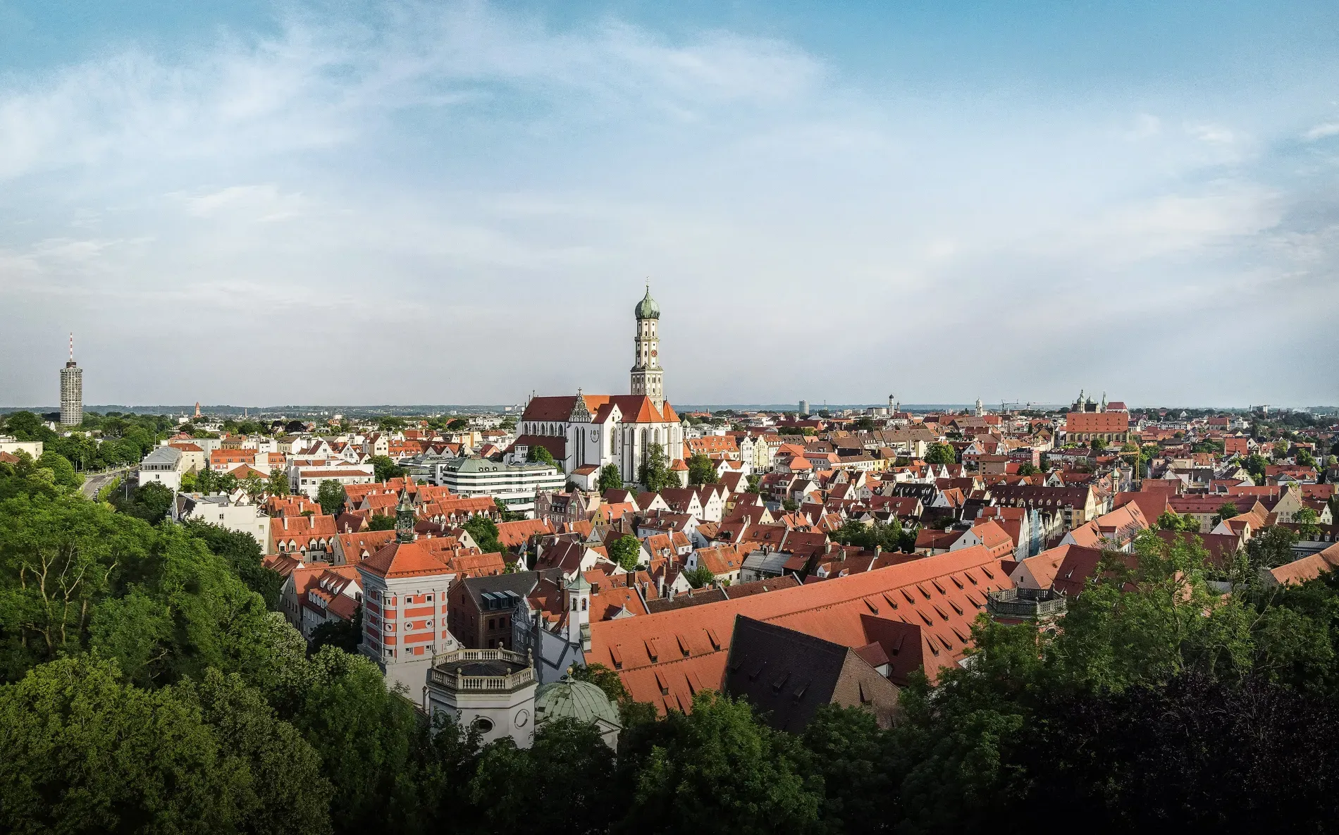
- Cities & Government
- Mobility Planning
Accessibility and Walkability Analyses in the City of Augsburg
To explore how accessibility, oriented towards sustainable mobility, can be practically measured and evaluated, the City of Augsburg is examining approaches such as Public Transport Quality Classes (ÖV-Güteklassen) and the assessment of pedestrian-friendliness of street and pathway networks.
Read the reference
- Mobility Planning
KLNavi - Building a mobility platform for customizable multimodal routing
For Kaiserslautern, we are developing an innovative routing application called KLNavi for people with mobility impairments. It is based on the experiences from GOAT and utilizes OpenTripPlanner and the Digitransit UI.
Read the reference
- Mobility Planning
Accessibility analyses for projects "Mobilitätsgarantie" and "ÖV Atlas"
Various accessibility analyses of public transport services were carried out for Agora Verkehrswende using GOAT.
Read the reference
- Cities & Government
- Mobility Planning
City of Amberg
Using GOAT, analyses for parking space reduction and cycle path planning were conducted for the City of Amberg and summarised in reports.
Read the reference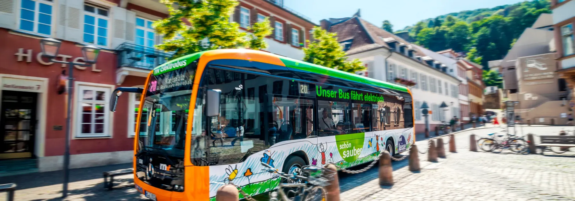
- Cities & Government
- Mobility Planning
Metropolitan Region Rhine-Neckar - GOAT Subscription
GOAT is used as a cross-stakeholder planning platform within the framework of the Smart Region project in the Rhine-Neckar metropolitan region.
Read the reference
- Mobility Planning
Accessibility Analysis for project "MOBITAT"
Conducting accessibility analyses with GOAT for cycling and public transport for the 520 municipalities in the Frankfurt-Rhine-Main metropolitan region.
Read the reference
- Cities & Government
- Mobility Planning
EX-TRA - Experimenting with city streets to transform urban mobility
Use of GOAT in Ghent, Amsterdam, London, Bologna and Munich to conduct accessibility analyses and identify suitable locations for street experiments.
Read the reference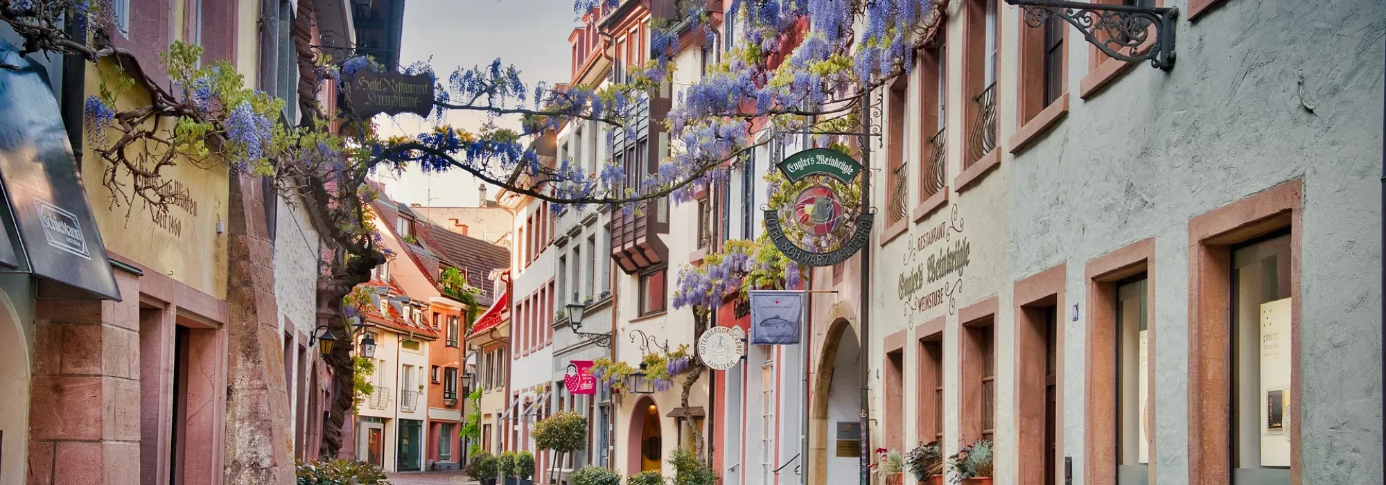
- Cities & Government
- Mobility Planning
Spatial data analysis for integrated urban development and mobility planning
Statistical analysis of socio-demographic data and mobility parameters for Munich, Aachen and Freiburg.
Read the reference
- Real Estate
- Mobility Planning
stattbau - GOAT Subscription
With the GOAT subscription, the consultants at stattbau München GmbH prepare accessibility analyses for sustainable housing and settlement projects.
Read the reference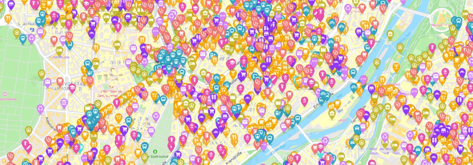
- Mobility Planning
- Cities & Government
Urban Mobility Score (Map4Citizens)
In order to support citizens in making sustainable mobility decisions, a citizens’ GIS was developed around the theme of the 15-minute city.
Read the reference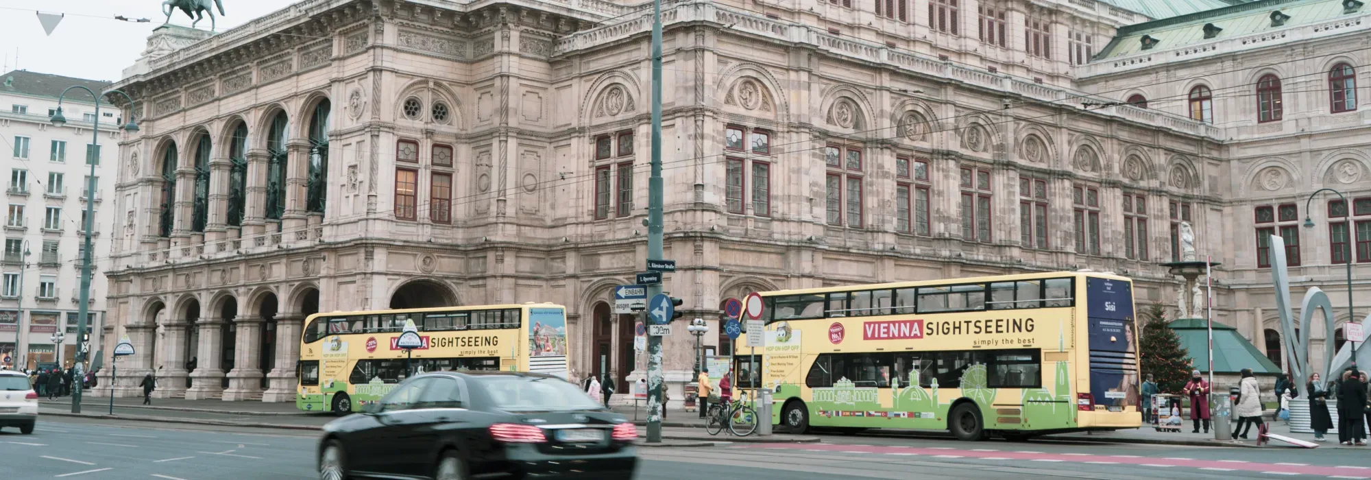
- Mobility Planning
Calculation of public transport quality classes in Austria
In cooperation with the Technical University of Vienna, the public transport quality classes were calculated for the entire country of Austria.
Read the reference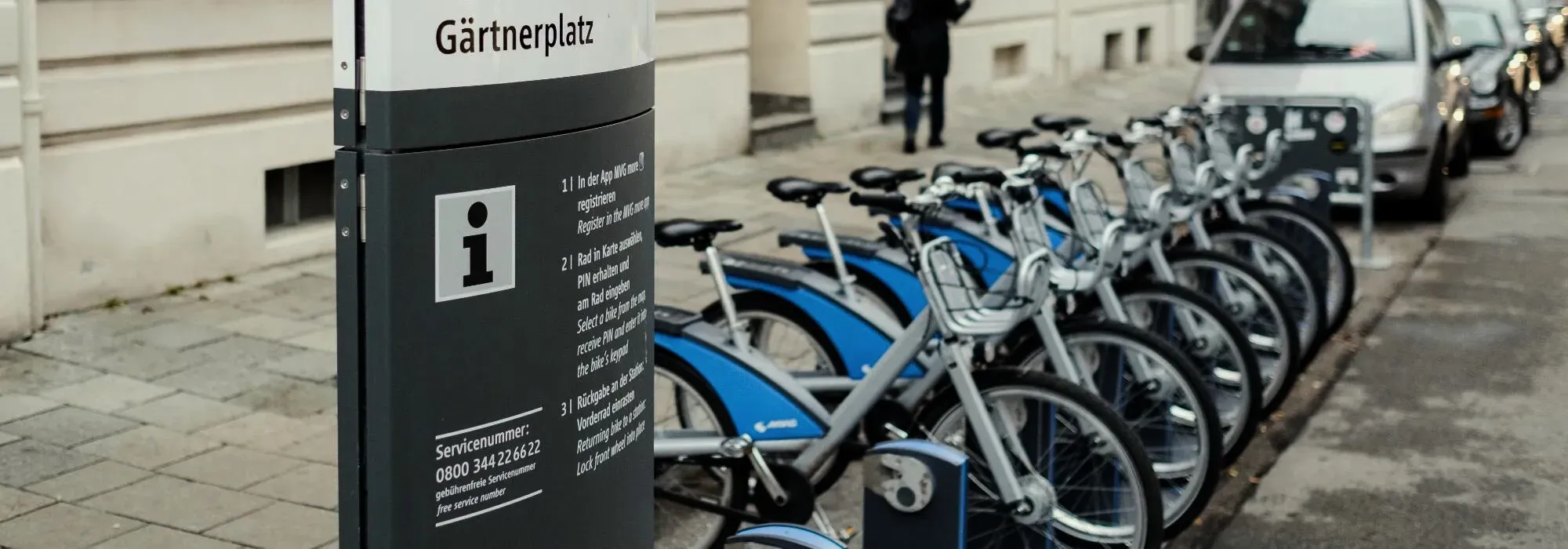
- Mobility Planning
Citizen Mobility
GOAT was used as part of the “Citizen Mobility” project to plan new mobility stations in Munich.
Read the reference
- Cities & Government
Deerfield Beach - GOAT Subscription
With the GOAT subscription, planners in the City of Deerfield Beach (Florida) conduct accessibility analyses for a variety of planning issues.
Read the reference- Cities & Government
- Mobility Planning
- Retail
Freiburg - GOAT Subscription
With the GOAT subscription, planners from the City of Freiburg and the local transport provider produce accessibility analyses for a wide range of planning issues.
Read the reference
- Mobility Planning
Calculation of public transport quality classes in Germany
In order to assess the quality of public transport services, public transport quality classes were calculated for a German federal state.
Read the reference
- Cities & Government
Innovation Phase Munich
GOAT was used by the City of Munich to carry out analyses around the 15-minute city.
Read the reference
- Cities & Government
- Mobility Planning
Walkability Analyses Istanbul
GIS-based accessibility and walkability analyses were carried out as a planning basis for the redesign of six neighbourhoods in Istanbul.
Read the reference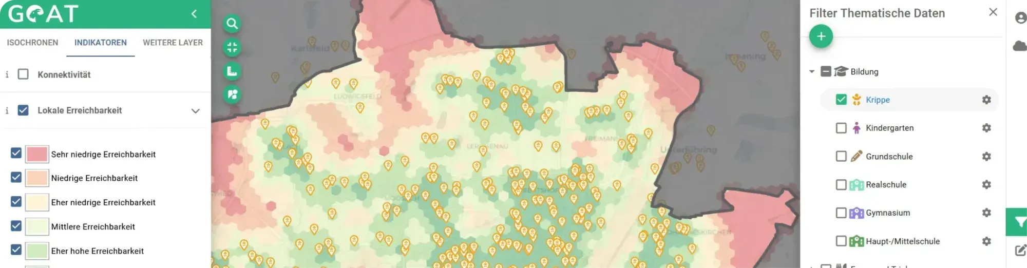
- Cities & Government
- Mobility Planning
GOAT 1.0
Development of new GOAT functionalities for walking and cycling in a co-creative process with the Cities of Fürstenfeldbruck, Freising and Munich.
Read the reference
- Cities & Government
- Mobility Planning
WALKIE - Walkability index to assist school route planning for the municipality of Freiburg
As part of an innovation project, a Walkability Index was developed to show pedestrian friendliness for the pilot municipality of Freiburg and used for school route planning.
Read the reference
- Cities & Government
- Mobility Planning
San Pedro Garza García - Mexico
As part of a pilot study, GOAT was applied to San Pedro Garza García in Mexico and contributed to the urban pedestrian master plan.
Read the reference
Ready to make sense of your data?
Join planners, organizations and cities using GOAT to make better decisions, faster. No GIS expertise needed.