Plan4Better

Industries

Real Estate

Location quality in real estate — walkability, transit access, proximity to schools and retail — demands spatial answers. GOAT gives developers, consultants, and housing departments the tools to evaluate and communicate location quality precisely, from site selection to parking demand modelling.

GOAT real estate dashboards for developers, consultants and housing departments
Site selection by accessibility to daily destinations in GOAT

Select Sites Based on Spatial Accessibility Data

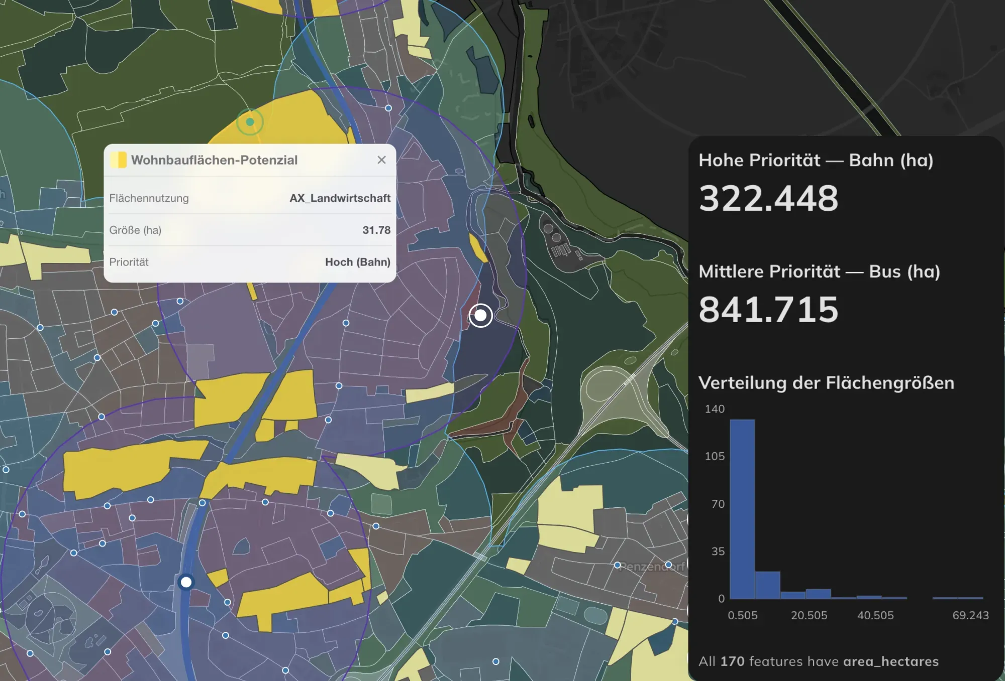
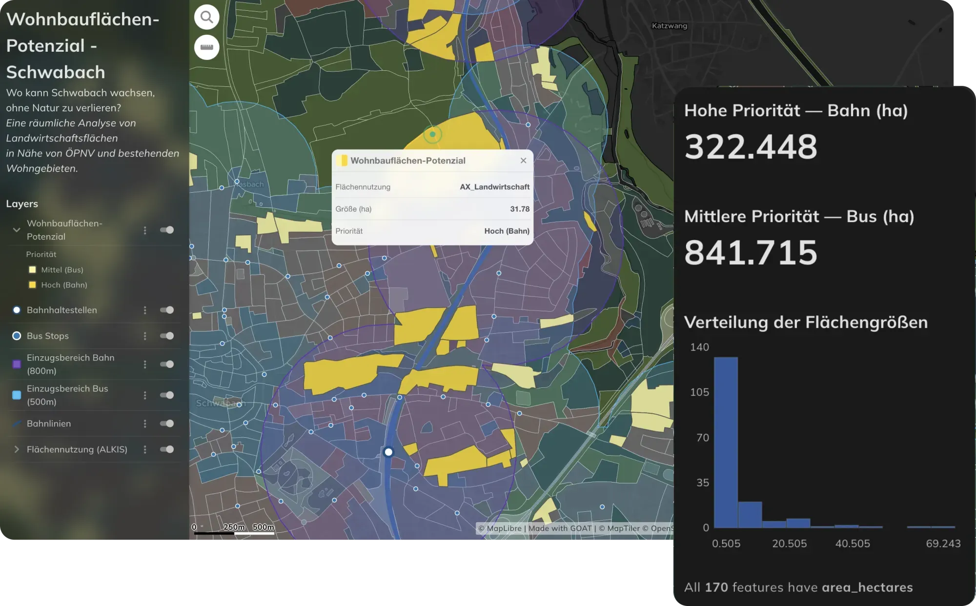
Evaluate the spatial suitability of development sites based on accessibility to daily destinations — supermarkets, schools, healthcare, public transport stops, and green spaces. GOAT's isochrone and heatmap analyses provide a comprehensive picture of location quality for walking, cycling, and transit, supporting strategic site selection and investment decisions.
Location quality accessibility profile for property appraisal in GOAT

Quantify Location Quality for Property Appraisals

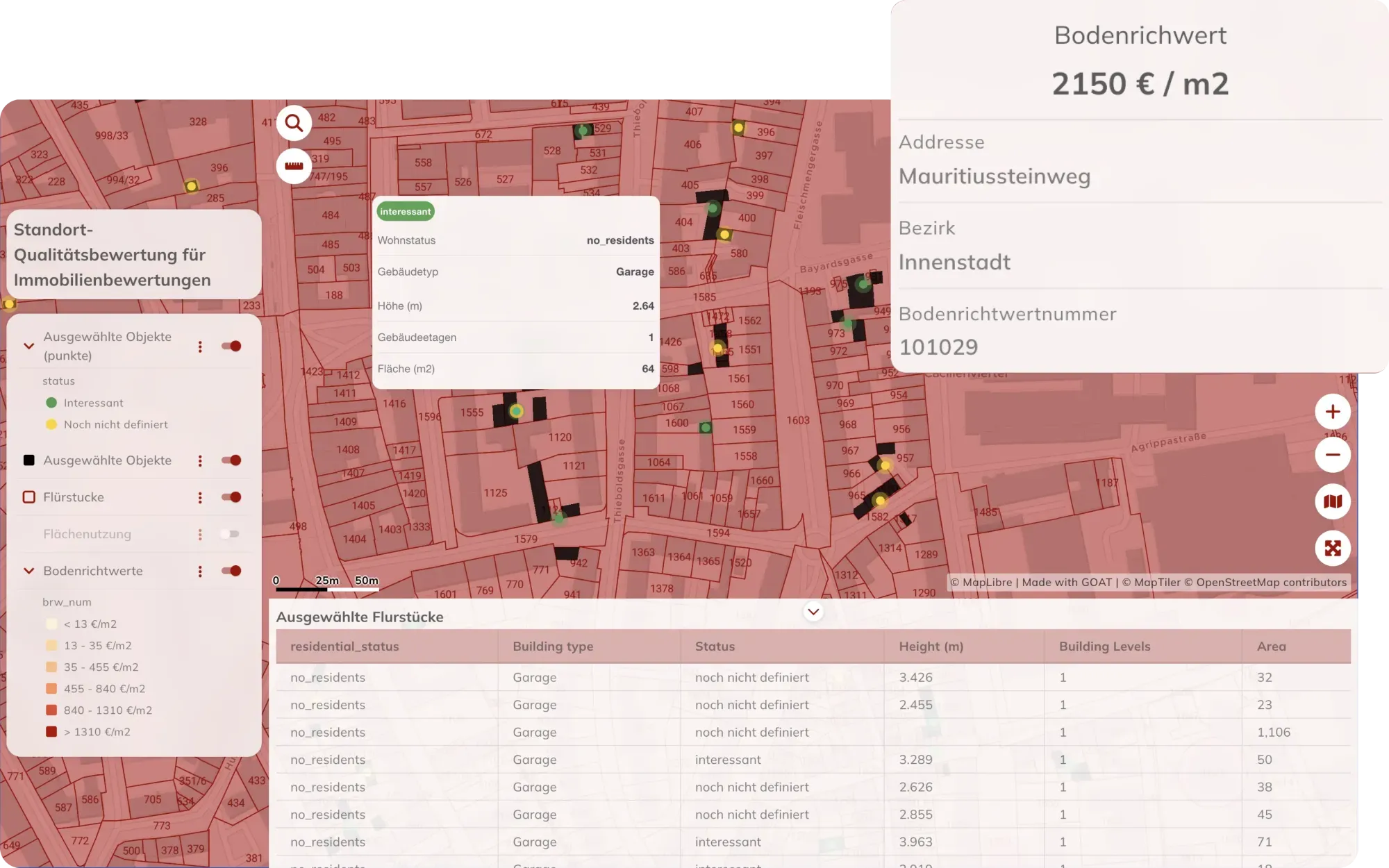
Understand how proximity to parks, public transport, schools, and retail affects the attractiveness and value of residential and commercial properties. GOAT enables detailed accessibility profiling of individual locations — providing a robust, data-driven foundation for valuation reports and development appraisals.

Real estate location analysis presented as an interactive map in GOAT

Present Location Analyses as Interactive Maps

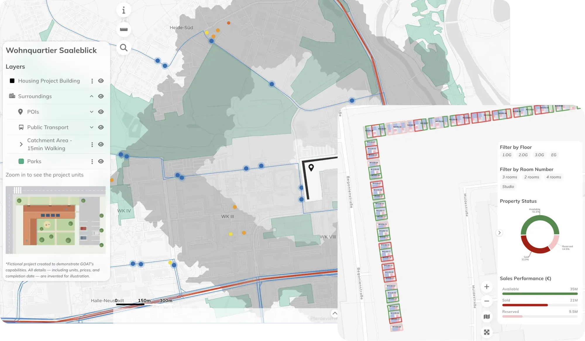
Present location analyses and planning results as interactive maps and dashboards — for use in client presentations, investor reports, public participation processes, or applications to planning authorities. GOAT makes complex spatial data accessible and visually compelling for non-specialist audiences.

Maps made with GOAT

Real analyses built by planners, researchers, and cities — explore what’s possible before you start your own.

  • Property Sales Dashboard

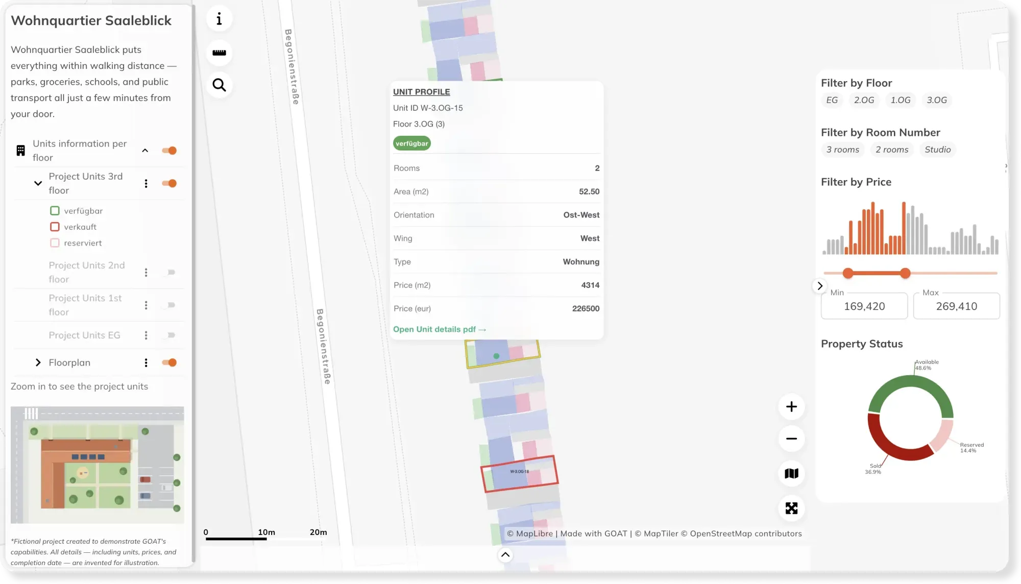
    Property Sales Dashboard

    Give buyers more than a brochure. With GOAT, present your development as an interactive map — location, apartments, floor plans, and availability in one place buyers can explore.

    Check the map
  • Rent prices across Germany

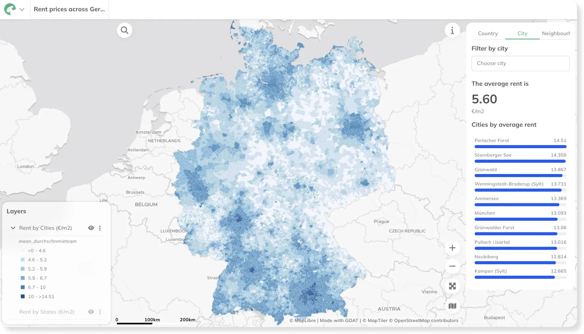
    Rent prices across Germany

    With rising rental prices impacting cities across the world, this map visualizes net rent per m² in Germany across different administrative boundaries

    Check the map
  • Land Use & Development Potential in Schwabach

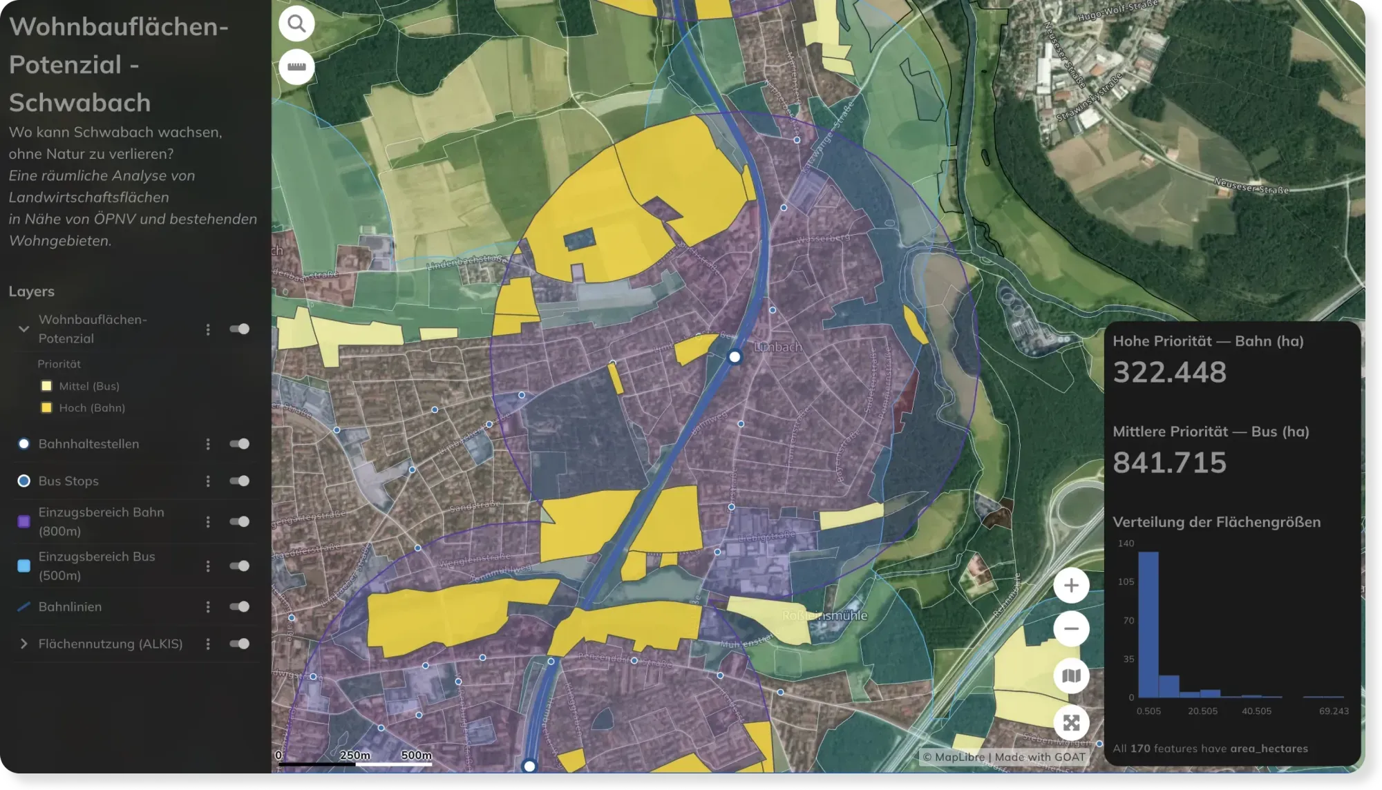
    Land Use & Development Potential in Schwabach

    See how land is used across Schwabach — and where there's room to grow. An open land-use map for planners, developers, and citizens.

    Check the map

The difference

Why GOAT?

  • Planning indicators and GIS tools, ready and easy to use

    Walking, cycling, driving and public transport accessibility for any address, scored on what residents can actually reach: transport stops, schools, shops, healthcare, green space. Ready to run with your parameters. Around them sits a full toolbox of GIS and data analysis tools, so you can join, filter and aggregate your own data without leaving the browser.

    Then save the whole thing as a workflow. When the data updates or a boundary changes, run it again. Same method, new result, no rebuilding.

  • A data catalog with AI-powered search

    Over 20,000 ready-to-use datasets: population, transport networks, amenities, administrative boundaries. Describe what you need and the catalog finds it, so a plot can be assessed the day you hear about it.

  • Ready to use, open by design

    Nothing to install. Built on open-source technologies and open standards, so your data and workflows stay portable.

  • Scalable

    From one site assessment to portfolio-wide location analysis.

  • Proven in practice

    Used for residential development projects, parking demand studies and mobility concepts across Germany.

See how Munich is doing it

Parking requirements set by what a location can actually reach, not by a flat rate per unit.

FLEKS - High-resolution determination of minimum parking requirements for the City of Munich

FLEKS - High-resolution determination of minimum parking requirements for the City of Munich

The FLEKS project aims to develop a method that determines parking space needs based on urban planning, socio-demographic, and mobility-related parameters, and integrates it into an integrated mobility concept.

Read the reference

Assessing a site?

Book a slot and we'll run the accessibility analysis on one of your locations together.

  • Score a site on what residents can actually reach: transport, schools, shops, healthcare.
  • Compare candidate plots on accessibility before you acquire.
  • Evidence accessibility in planning applications and funding submissions.
  • Maps and reports for investor and municipal conversations.

Ready to make sense of your data?

Join planners, organizations and cities using GOAT to make better decisions, faster. No GIS expertise needed.