
FLEKS - High-resolution determination of minimum parking requirements for the City of Munich
The FLEKS project aims to develop a method that determines parking space needs based on urban planning, socio-demographic, and mobility-related parameters, and integrates it into an integrated mobility concept.
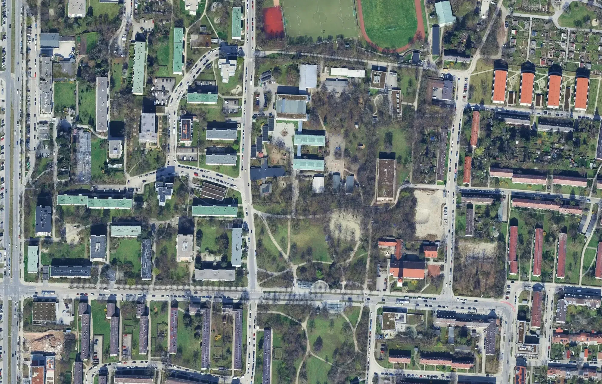
General information
- Client
- City of Munich
- Period
- 2025
Planning cases
- Development of an indicator for the calculation of flexible minimum parking requirements
- Integration to mobility concept on private property
- Recommendation for parking space regulation
Overview
Parking regulations are often still too rigid and do not allow for location-specific determination of the actual demand, but instead often provide city-wide guidelines. This drives up construction costs and can lead to waste of resources. The FLEKS project addresses the growing demand for private parking spaces in the state capital of Munich, taking into account limited land resources and forward-looking mobility. It is carried out as a collaboration between Plan4Better GmbH and stattbau münchen GmbH, based on the methodology of Technische Universität Hamburg. The approach uses high-resolution data such as socio-demographic information, public transport quality classes and accessibility to calculate location-specific parking needs and shared mobility to measure the parking spaces needs and integrate it to mobility concept on private property.
Goals
- Development of an indicator for the calculation of parking space needs in a residential context, which consider factors such as accessibility, car ownership, and land use.
- Integration of the indicator with mobility concepts on private property to promote services like shared mobility as an alternative to private car use.
- Creation of recommendations for adapted parking space allocation that supports climate-neutral urban development.
Outlook
- The analysis delivers high-resolution maps and dashboards for the representation of parking space needs, including potential reduction through alternative mobility solutions.
- Expected results include recommendations for flexible parking concepts as well as transferable insights for other regions.
Diagram of how the indicator FLEKS works Motorization density in Munich
If you liked this, take a look at
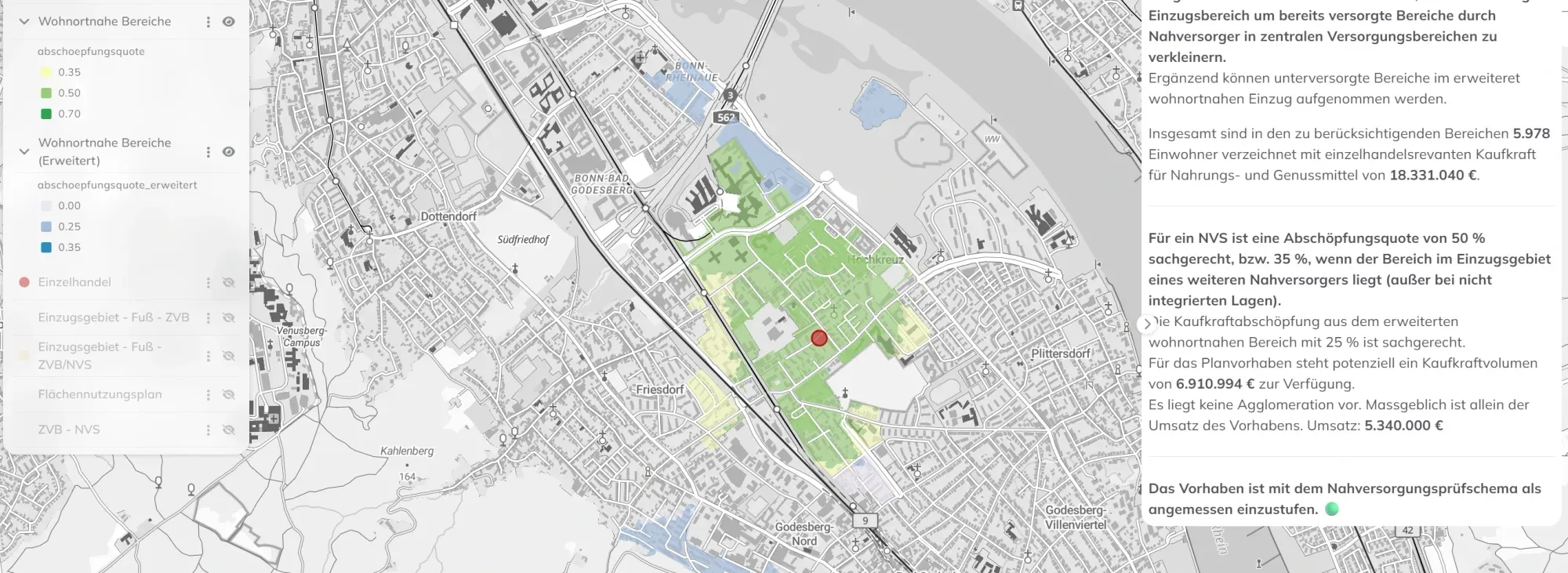
Retail planning in Bonn: data-driven GIS analysis with the WebGIS GOAT
Plan4Better is developing a GIS-based retail planning tool for the City of Bonn — enabling automated accessibility analyses, local supply assessments, and data-driven decisions fully integrated into the Urban Data Platform.
Read the referenceNeed an instrument built for your own question?
Book a slot and we will scope it against the decision you have to make.
Ready to make sense of your data?
Join planners, organizations and cities using GOAT to make better decisions, faster. No GIS expertise needed.