
Retail planning in Bonn: data-driven GIS analysis with the WebGIS GOAT
Plan4Better is developing a GIS-based retail planning tool for the City of Bonn — enabling automated accessibility analyses, local supply assessments, and data-driven decisions fully integrated into the Urban Data Platform.
General information
- Client
- City of Bonn
- Period
- 2026
Planning cases
- Digital planning tool for data-driven retail analyses and decisions
- Seamless integration by embedding GOAT into the existing UDP/CIVITAS infrastructure
- Interactive visualization and direct integration into planning processes
Overview
The City of Bonn is seeking sustainable, future-oriented solutions to secure a diverse, easily accessible retail offering as an essential component of public services and quality of life.
To this end, a digital planning and analysis application is being developed as a pilot for the retail sector, which:
- integrates all relevant datasets from the Urban Data Platform (UDP)
- automates key analyses such as accessibility analyses, a local-supply review scheme and forecasts
- interactively visualizes and communicates results
- can be seamlessly embedded into existing planning processes.
Solution approach: GOAT as an integrated analysis environment within the UDP
The application is built on the GOAT WebGIS platform and directly embedded into the UDP—operated under CIVITAS/Core. This ensures ideal integration into Bonn’s existing system landscape by:
providing a seamless connection to the central data infrastructure
- enabling direct use of the geospatial and domain specific data already available in the UDP
- allowing smooth integration into established workflows and planning processes.
Through this integration, a continuous digital application is created—from the data basis through automated analyses to interactive visualization—precisely tailored to the city’s requirements and transferable to other domain specific questions. The project starts with a detailed requirements analysis and data inventory, followed by UI/UX design and agile software development
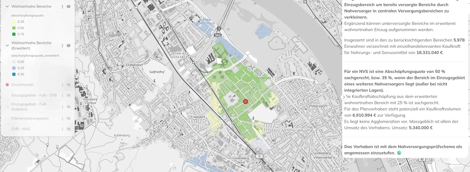
Catchment Area for Central Supply Area Retail Planning
If you liked this, take a look at
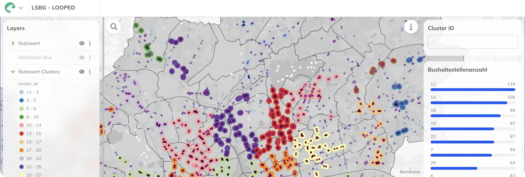
Location Analysis for Bus Stops in Hamburg with WebGIS GOAT
The Hamburg State Agency for Roads, Bridges and Waterways (LSBG) is tasked with systematically retrofitting approximately 2,400 bus stops for barrier-free access. The automated, standardized multi-criteria analysis required for this is being developed using the WebGIS GOAT.
Read the referencePlanning retail in your own city?
Book a slot and we'll look at your catchment areas and local supply together.
Ready to make sense of your data?
Join planners, organizations and cities using GOAT to make better decisions, faster. No GIS expertise needed.