
Back to the Gallery Map Gallery
Land Use & Development Potential in Schwabach
See how land is used across Schwabach — and where there's room to grow. An open land-use map for planners, developers, and citizens.
Before a single building goes up, planners need to know what’s already there — and what the land could become. This map shows land use types across Schwabach, giving a detailed picture of the city’s urban structure and where development potential sits. The data comes from the official ATKIS dataset and is visualised with a custom ordinal color scale for clarity and ease of analysis. The same workflow — harmonising official land-use data and styling it for analysis — transfers to any municipality that wants to open its land-use data for planners, developers, and citizens.
More maps to explore
- Real Estate
- Cities & Government
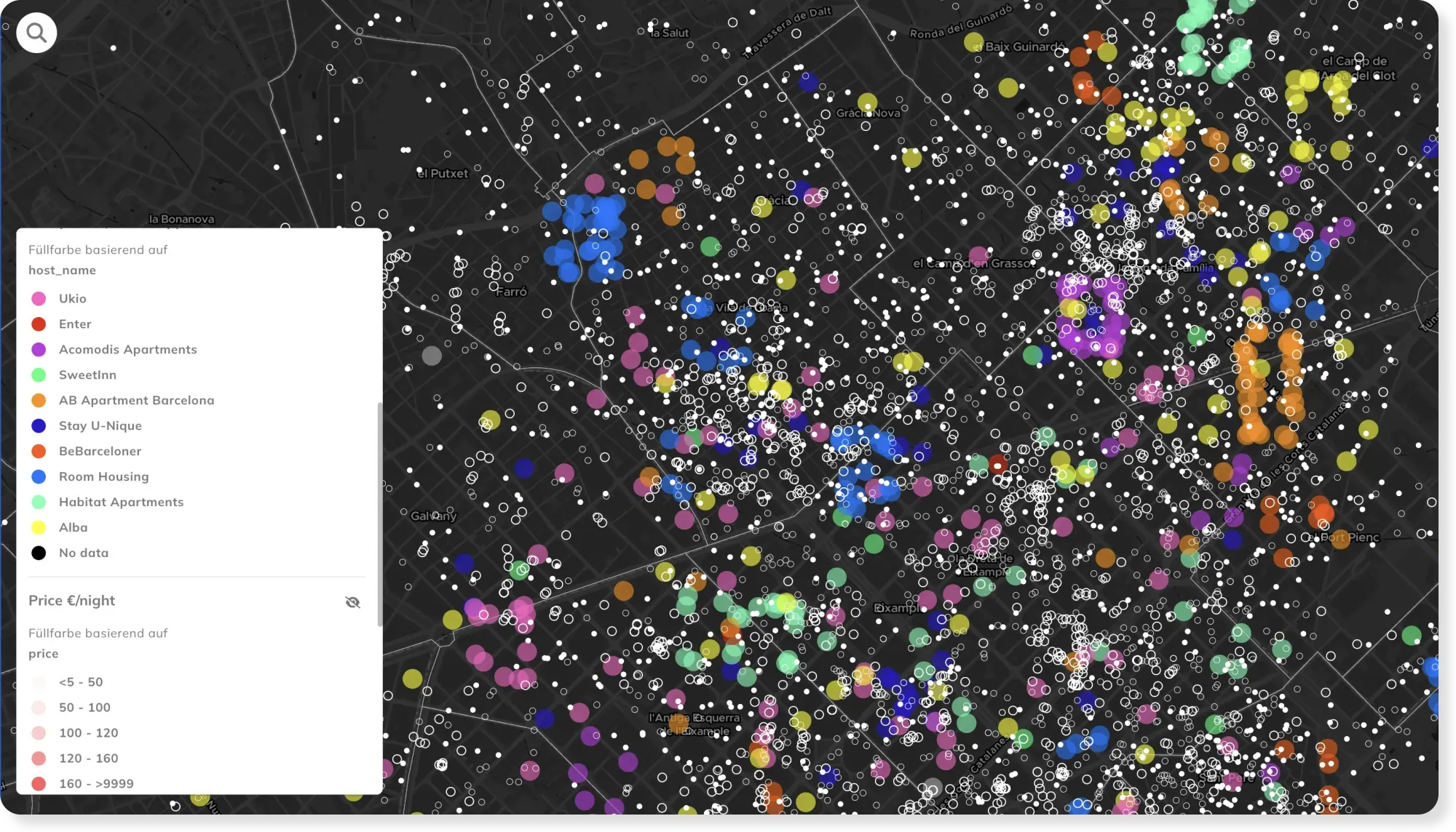
Short-Term Rental Monitoring
The rapid rise of Airbnb has sparked major debates in cities worldwide. This map looks into Barcelona's Airbnb landscape.
See the map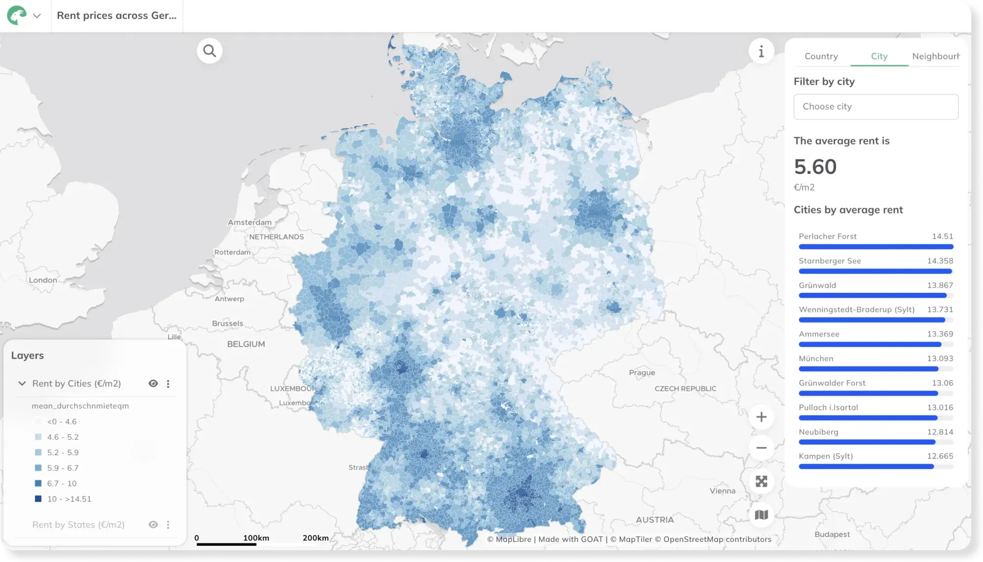
- Real Estate
- Cities & Government
Rent prices across Germany
With rising rental prices impacting cities across the world, this map visualizes net rent per m² in Germany across different administrative boundaries
See the map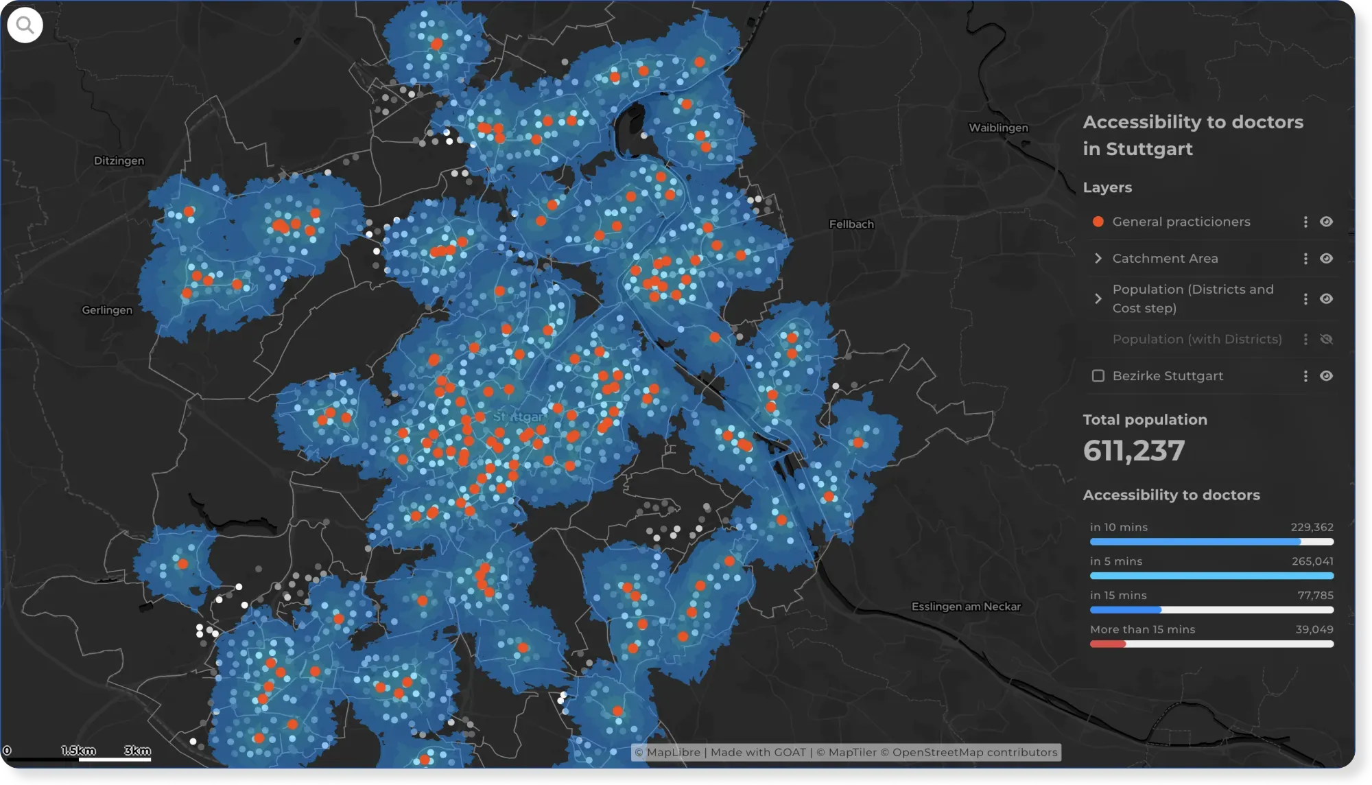
- Healthcare
- Cities & Government
How Easily Can Stuttgart Residents Reach a Doctor?
Reaching a doctor shouldn't depend on where you live. This map shows travel time to GPs across Stuttgart, reveals the areas left underserved, and suggests where new practices should go.
See the map
Ready to make sense of your data?
Join planners, organizations and cities using GOAT to make better decisions, faster. No GIS expertise needed.