
Back to the Gallery Map Gallery
How Easily Can Stuttgart Residents Reach a Doctor?
Reaching a doctor shouldn't depend on where you live. This map shows travel time to GPs across Stuttgart, reveals the areas left underserved, and suggests where new practices should go.
Reaching a doctor shouldn’t depend on where you live — but increasingly it does. This map starts from the GP practices themselves and draws a catchment area around each one, showing how far people across Stuttgart can travel to reach care on foot. Where those catchments thin out or leave blank space, access is falling short — and those gaps become visible at a glance. A second step uses connectivity analysis to test candidate sites and suggest where a new practice would do the most good. For health authorities, insurers, and planners deciding where care is needed most, it turns a vague sense that “the outskirts are underserved” into a clear, evidence-based map — and the same workflow applies to hospitals, pharmacies, or any essential service.
More maps to explore
- Retail
- Cities & Government
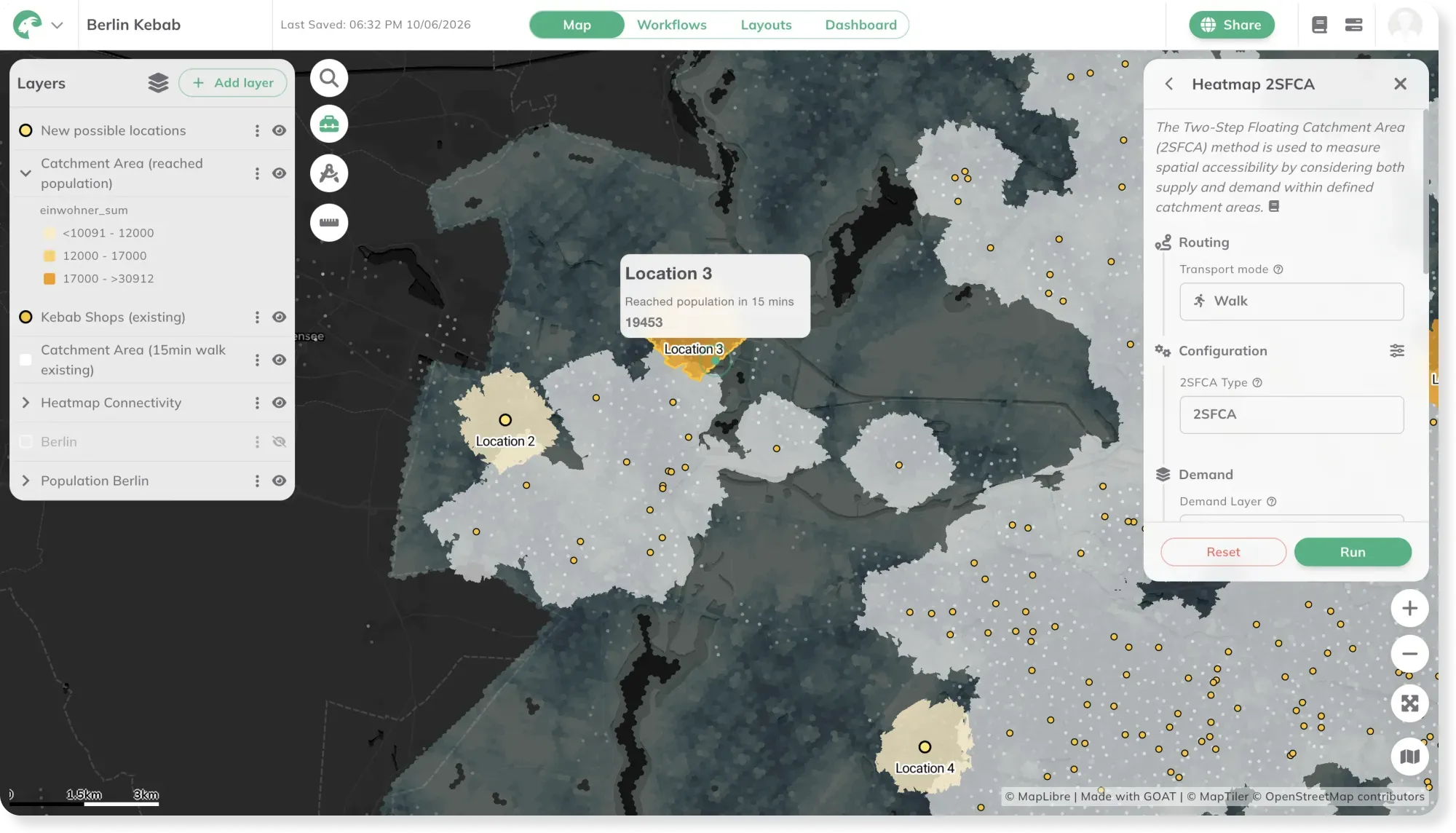
Retail Site Selection: Where Should the Next Shop Open?
Where's the gap in the market for a new shop? This map ranks potential sites by how many people can reach them on foot, and where demand goes unmet.
See the map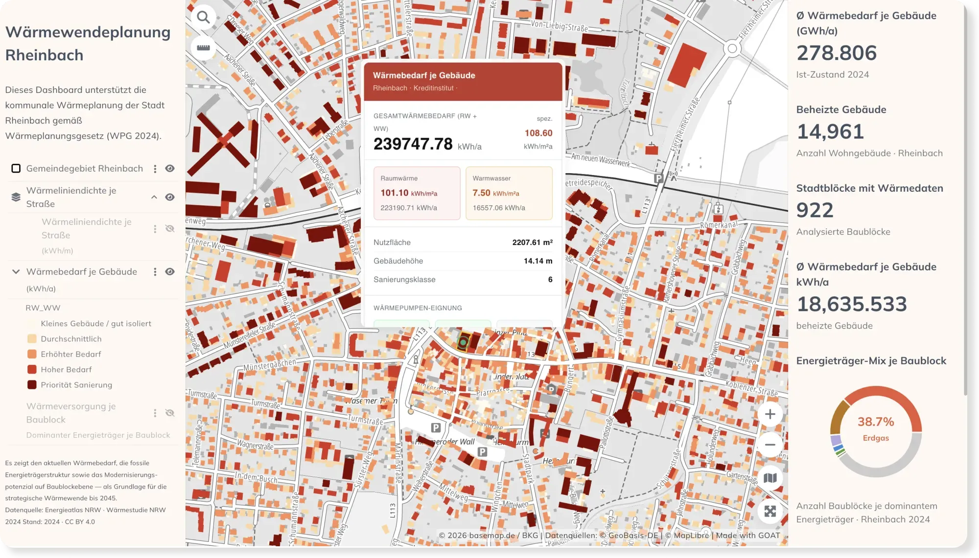
- Energy
- Sustainability & Climate Risk
- Cities & Government
Municipal Heat Planning: Heat Demand & Retrofit Priorities in Rheinbach
Germany's Heat Planning Act gives every municipality a deadline to plan its heat transition. This dashboard maps building-level heat demand, the energy mix, and retrofit priorities for Rheinbach.
See the map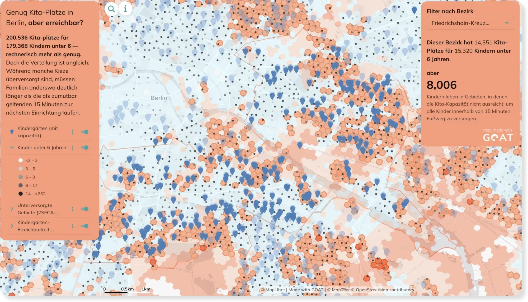
- Mobility Planning
- Cities & Government
Kindergarden accessibility in Berlin: Distance and Capacity combined
A kindergarden five minutes away doesn't help if every place is already taken. This map goes beyond simple distance and factors in capacity too — showing where families are truly cared for.
See the map
Ready to make sense of your data?
Join planners, organizations and cities using GOAT to make better decisions, faster. No GIS expertise needed.