
Back to the Gallery Map Gallery
Kindergarden accessibility in Berlin: Distance and Capacity combined
A kindergarden five minutes away doesn't help if every place is already taken. This map goes beyond simple distance and factors in capacity too — showing where families are truly cared for.
A kindergarten five minutes away doesn’t help if every place is already taken. This map goes beyond simple distance and factors in capacity too — showing not just which kindergartens families can reach on foot, but whether those kindergartens can actually take more children. That combination reveals gaps a plain proximity map would miss. For planners deciding where new facilities are needed most, the workflow behind this dashboard is a useful starting point — the same approach works for any facility where both reach and capacity matter.
More maps to explore
- Mobility Planning
- Cities & Government
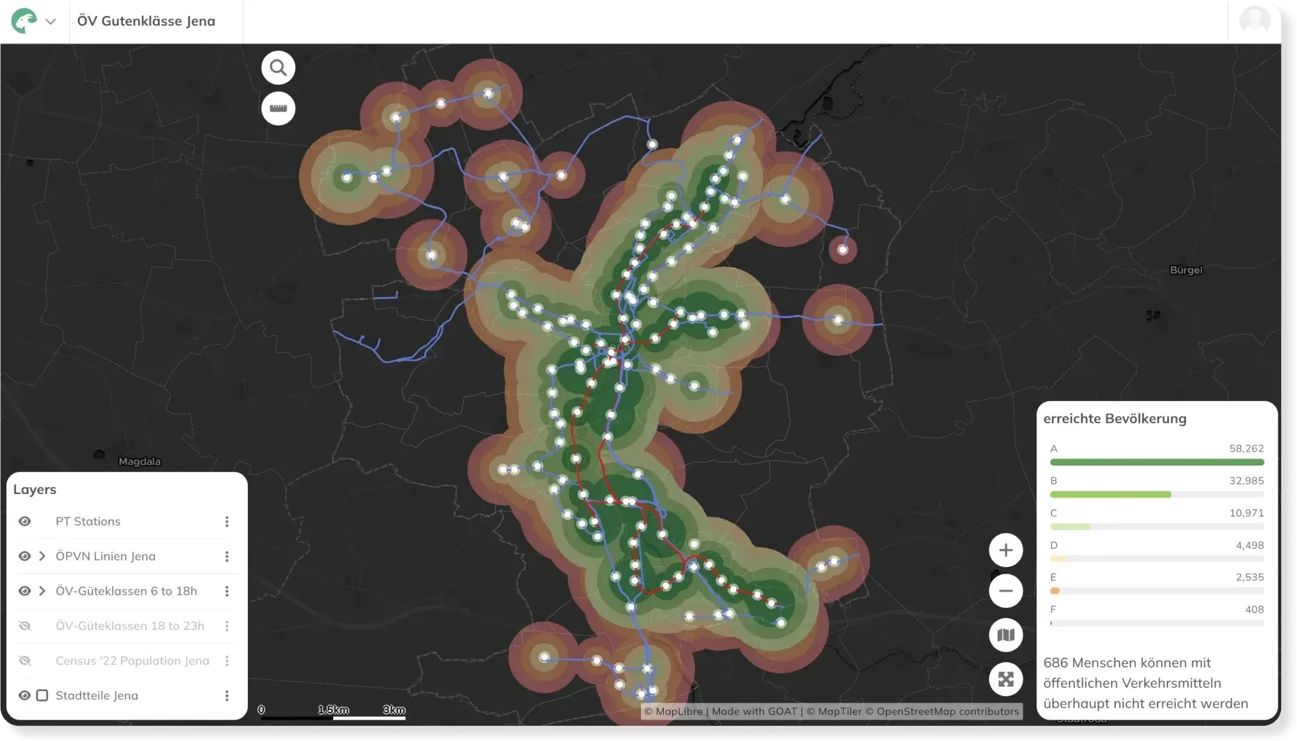
Transit Accessibility Analysis
This map shows the Public Transport Quality Classes (ÖV-Güteklassen) highlighting the attractiveness of public transport services for Jena.
See the map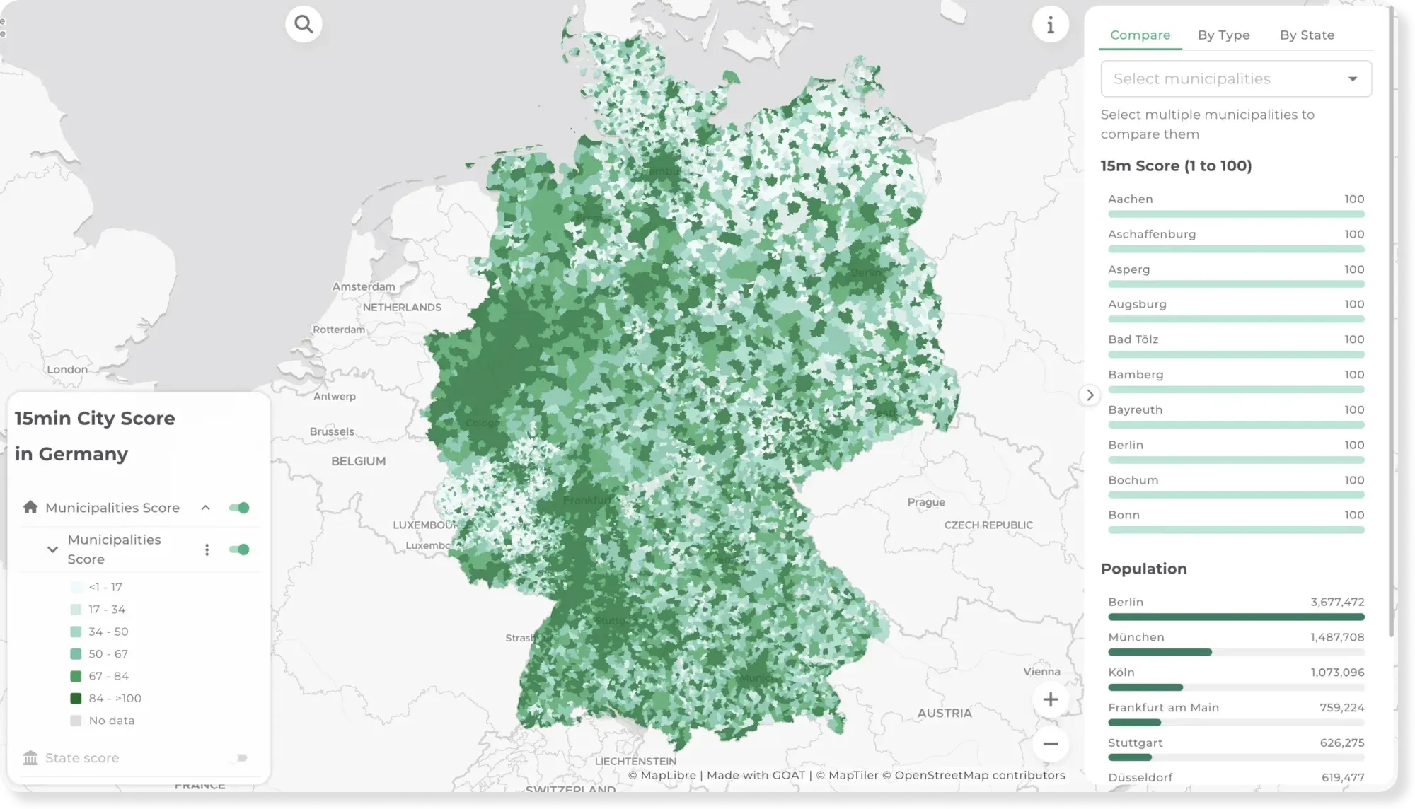
- Mobility Planning
- Cities & Government
15-minute City Score across Germany
Can you cover daily needs within a 15-minute walk? This map scores every municipality and state in Germany on the 15-minute city concept.
See the map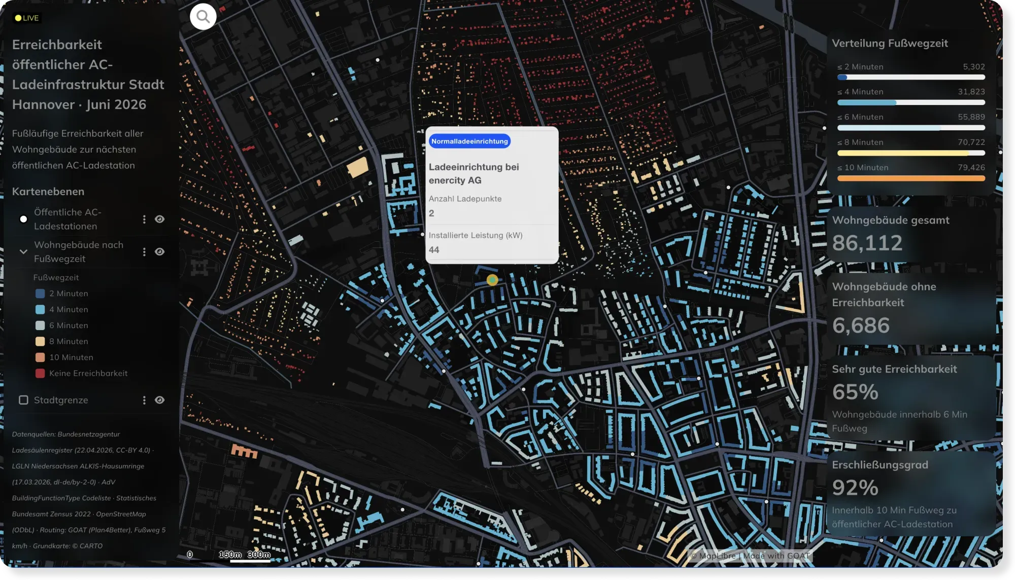
- Energy
- Mobility Planning
Live EV Charging Accessibility in Hannover, Powered by Automated Workflows
Charging networks change weekly. This Hannover dashboard stays current automatically — custom SQL and scheduled workflows recompute walking access to every AC charger as the data updates.
See the map
Ready to make sense of your data?
Join planners, organizations and cities using GOAT to make better decisions, faster. No GIS expertise needed.