
Active mobility concept for the Munich district of Allach-Untermenzing
The active mobility concept for Allach-Untermenzing combines detailed data analysis with active citizen participation to develop sustainable, tailored mobility solutions that directly address the everyday needs of local residents.
General information
- Client
- Stadt München
- Period
- 2024-2026
Planning cases
- Assessment of the quality of pedestrian, cycling, and public transport infrastructure using data-based methods
- Involvement of stakeholders and the local community
- Development and evaluation of suitable measures for shaping the future
Overview
The project “Active Mobility Concept for Allach-Untermenzing” aims to develop a sustainable mobility strategy tailored specifically to the growing Munich district of Allach-Untermenzing. Guided by the principles of the 15-minute city (“city of short distances”), the concept addresses key local mobility challenges and promotes accessible, environmentally friendly transport alternatives. The strategy combines data-based analysis, comprehensive stakeholder engagement, and innovative planning approaches to holistically address the community’s mobility needs.
Project Consortium****
- **Sweco GmbH:**Experts in infrastructure planning and engineering, contributing comprehensive technical expertise in sustainable mobility solutions for cities.
- Plan4Better GmbH: Specialized in data-based mobility planning, accessibility analysis, and spatial analytics.
Key work areas:
- Fine-grained data collection: Systematic collection and analysis of the availability, width, surface condition, and traffic safety of pedestrian and cycling paths, along with comprehensive assessments of accessibility for people with disabilities.
- Accessibility analysis: Detailed investigation of accessibility for pedestrian, cycling, and public transport (public transit), complemented by careful on-site inspections and assessments.
- Identification of deficiencies: Data-based localization of weak points in the existing pedestrian and cycling network to derive targeted improvement measures.
- Stakeholder engagement: Comprehensive citizen participation through the city’s participation platform, public events, and hands-on pedestrian walkability checks, incorporating insights from previous participation formats.
- Measure development and implementation strategy: Development of concrete, actionable mobility measures based on detailed analyses and citizen feedback, accompanied by realistic cost estimates and clear implementation strategies.
Goals and results:
- Development of a comprehensive, sustainable mobility concept tailored specifically to the Allach-Untermenzing district and transferable to comparable contexts in Munich and beyond.
- Improvement of local mobility infrastructure with particular focus on optimized cycling connections, safe pedestrian paths, and better connections to public transport.
- Establishment of transparent communication channels and structured participation processes to build trust and foster constructive problem-solving.
Special aspects:
The project underscores the critical importance of high-quality data on pedestrian and cycling networks, demonstrating how essential precise and detailed information is for effective mobility planning. At the same time, it highlights the importance of participation — because local residents are the true experts on local mobility needs and challenges.
The project shows the added value of combining data-based analysis with active public participation to develop locally adapted, broadly supported mobility solutions. The collaboration between Plan4Better GmbH, Sweco GmbH, the City of Munich, local stakeholders, and residents ensures effective and sustainable improvements to mobility.
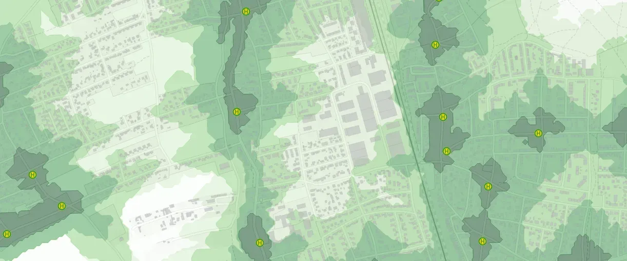
Land use in Allach
Study area: Allach-Untermenzing Public transport quality (6 am - 8pm) Land use in Allach
If you liked this, take a look at
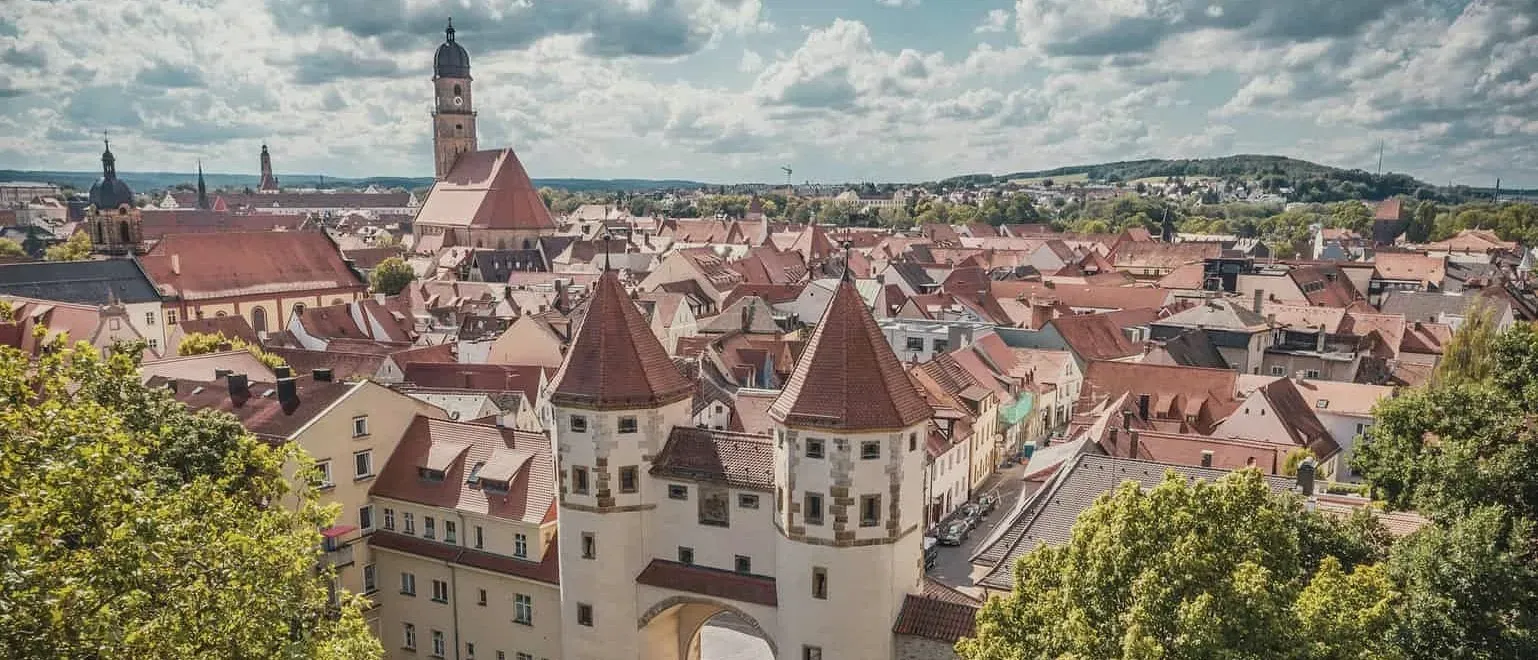
City of Amberg
Using GOAT, analyses for parking space reduction and cycle path planning were conducted for the City of Amberg and summarised in reports.
Read the referencePutting together a mobility concept?
Book a slot and we will look at the gaps you need to find and how to evidence them.
Ready to make sense of your data?
Join planners, organizations and cities using GOAT to make better decisions, faster. No GIS expertise needed.