
City of Amberg
Using GOAT, analyses for parking space reduction and cycle path planning were conducted for the City of Amberg and summarised in reports.
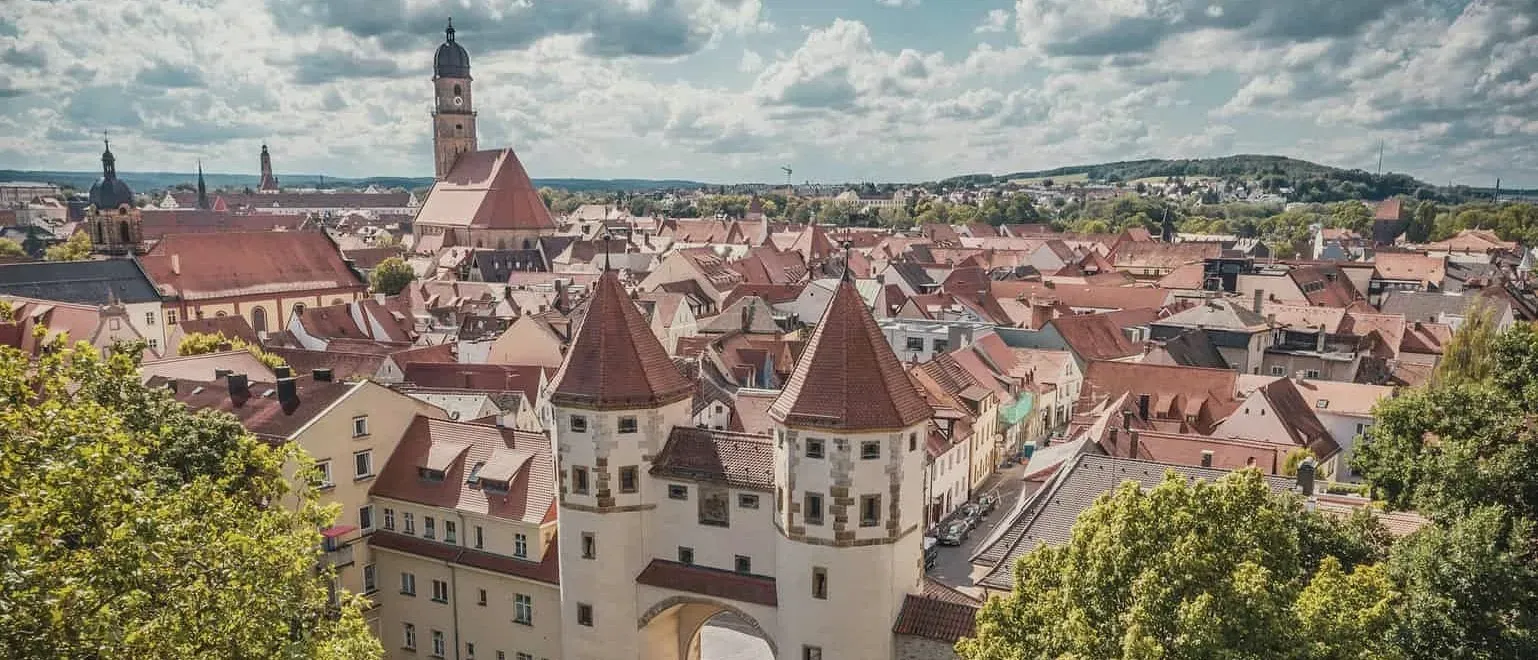
General information
- Client
- City of Amberg
- Period
- 2023 - 2024
Planning cases
- Accessibility to car parking in the Amberg city centre
- Accessibility effects of a new cycle path connection (comparison of different variants)
Overview
For the city of Amberg with its historic city centre, two reports have so far been produced using GOAT. The first report analysed how accessible the various destinations in Amberg’s city centre are from the parking facilities. In the second report, different variants of a new cycle path connection were analysed and compared.
Car accessibility of car park „Altstadtgarage”
Accessibility analysis of parking facilities in Amberg city centre
In a report, the current parking situation in Amberg city centre was examined using the planning tool GOAT and various accessibility analysis. The focus was on the accessibility of various points of interest (POIs) both by active modes and by motorised private transport. Specifically, the following four questions were answered and visualised using appealing maps:
- How good is the accessibility to public parking garages and on-street parking by private motorised transport?
- How good is the accessibility to Amberg Markplatz by bicycle?
- How good is the accessibility of various important POIs from the public parking garages and on-street parking on foot?
- Where are there gaps in the parking offer?
Accessibility analyses for the planned cycle path project “Höchste Eisenbahn” in Amberg
In a report, the planned cycle path in Amberg was modelled using the GOAT planning tool and examined on the basis of various accessibility analyses. The aim of the report was to determine the effects of the planned cycle path on the accessibility of the population and important points of interest (POI). Specifically, the following question was answered and visualised using appealing maps:
What accessibility gain does the new cycle path bring compared to the current situation…
- … without underpass (variant 1)
- … with underpass (variant 2)
Inner city car parks Walking accessibility to public facilities Car accessibility of car park „Altstadtgarage”
If you liked this, take a look at
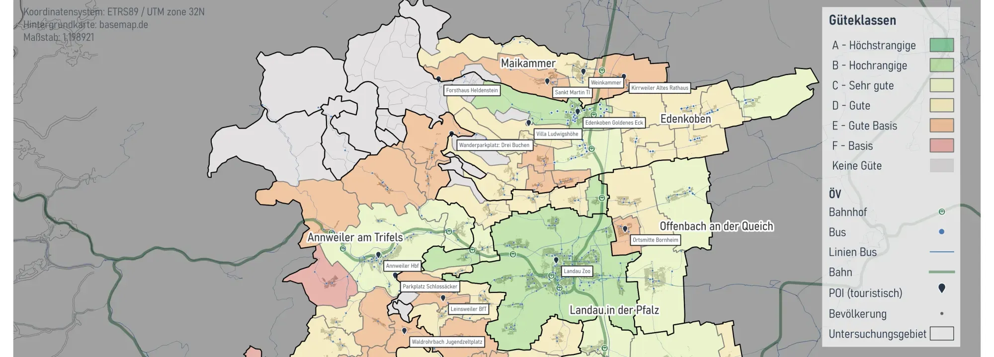
Mobility Analyses for Südliche Weinstraße
On behalf of the District of Südliche Weinstraße, we conducted a public transport (ÖPNV) study on the accessibility of tourist destinations by local transit.
Read the referencePutting together a mobility concept?
Book a slot and we will look at the gaps you need to find and how to evidence them.
Ready to make sense of your data?
Join planners, organizations and cities using GOAT to make better decisions, faster. No GIS expertise needed.