
Mobility Analyses for Südliche Weinstraße
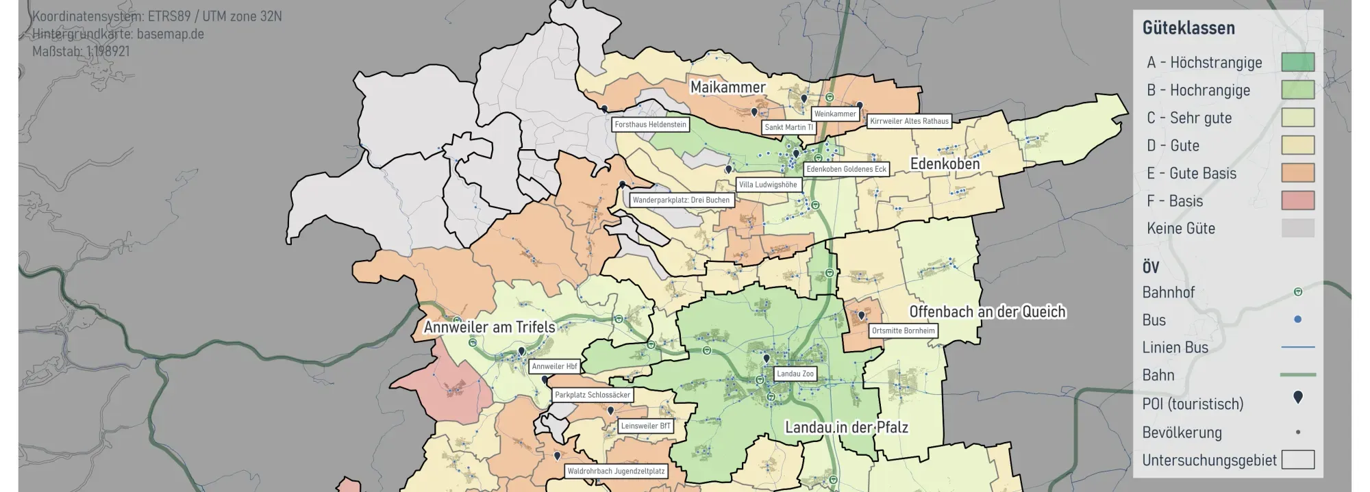
On behalf of the District of Südliche Weinstraße, we conducted a public transport (ÖPNV) study on the accessibility of tourist destinations by local transit.
General information
- Client
- District of Südliche Weinstraße
- Period
- 2025
Planning cases
- Accessibility analysis of tourist destinations by public transport
- Gap analysis
- Creation of fact sheets for selected POIs
Overview
For the Südliche Weinstraße study area and the city of Landau, we conducted, on behalf of the District of Südliche Weinstraße, a public transport (ÖPNV) study on the accessibility of tourist destinations by local transit. This study was carried out as part of the Rhine-Neckar region’s Smart Region initiative. Its aim was to identify both general and tourism-specific strengths and weaknesses of the transit offer, which were consolidated in a comprehensive gap analysis.
As the on-demand service VRNflexline operates in parts of Südliche Weinstraße, the public transport analysis integrated this service with classical line-based public transport to provide a complete analysis of the transit offer. For the tourism-specific analysis, we produced fact sheets for 19 selected POIs to illustrate their accessibility by different modes of transport. Our evaluation also incorporated results from a visitor survey conducted at several POIs. Based on these analyses, we developed a catalogue of measures designed to improve the quality of public transport in the District of Südliche Weinstraße.
Tourist POIs Trave time comparison public transport / motorized individual transport
If you liked this, take a look at
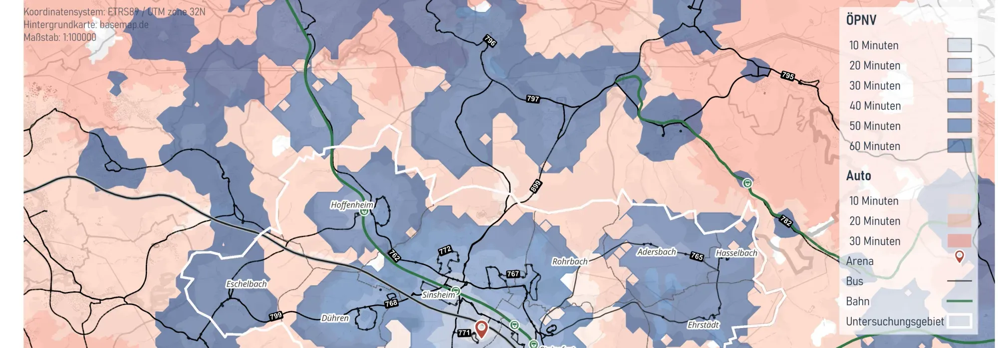
Integrated Mobility Analysis for the City of Sinsheim
The City of Sinsheim commissioned Plan4Better to carry out an integrated mobility analysis of cycling, walking and public transport to reduce the high dependency on private motor traffic and identify improvement potentials for the city’s various transport modes.
Read the referencePutting together a mobility concept?
Book a slot and we will look at the gaps you need to find and how to evidence them.
Ready to make sense of your data?
Join planners, organizations and cities using GOAT to make better decisions, faster. No GIS expertise needed.