
GOAT 3.0
Development of new GOAT functionalities for public transport planning, green space planning, essential services, and the 15-minute city.
General information
- Client
- Federal Ministry for Digital and Transport
- Period
- 2021 - 2024
Planning cases
- Development of new accessibility indicators
- Strengthen Germany nationwide applicability
- Ensure user-centric development
Overview
The GOAT 3.0 project, funded by the Federal Ministry for Digital and Transport (BMDV) under the mFUND innovation initiative, successfully expanded the web-based planning tool into a comprehensive digital platform. Led by Plan4Better GmbH in collaboration with TUM, IÖR, PSU, and MVV, the project integrated new transport modes, indicators, and datasets to enhance accessibility analyses and planning capabilities.
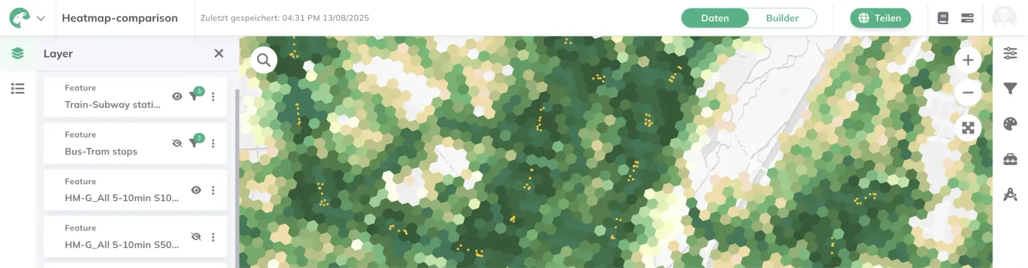
Comparing accessibility to green spaces using the Heatmap indicators in the GOAT toolbox
Goal
The project aimed to:
-
Develop accessibility indicators for public transport, motorized individual transport (MIT), and intermodal travel chains.
-
Enable evaluations of essential services (e.g., healthcare) and green space accessibility.
-
Strengthen nationwide applicability by merging high-resolution datasets (e.g., population data, GTFS feeds).
-
Ensure user-centric development through workshops, interviews, and feedback from pilot regions (Rhein-Neckar, Munich, Görlitz, Bonn).
Collaborative Development & User Feedback
The project team conducted extensive literature reviews, workshops, and interviews to align GOAT with user needs. Over 20 workshops with 100+ participants—primarily from pilot regions like Rhein-Neckar, Munich, Görlitz, and Bonn—provided critical feedback. Findings were documented in the GOAT Wiki to ensure transparency.
Outlook
GOAT 3.0 is now actively used by partners like the Rhein-Neckar Metropolitan Region and planning offices for real-world applications, including 15-minute city assessments and public transport planning. Plan4Better continues to promote GOAT’s adoption, offering a free demo version for testing: https://goat.plan4better.de.
More information about this project:
Our Blogpost: Successful Completion of the GOAT 3.0 Project****
Scientific publication:Erreichbarkeits- und Analyseinstrumente für die Daseinsvorsorgeplanung: Potenziale und Hindernisse
Project website: https://www.open-accessibility.org/
Project profile BMDV: https://www.bmv.de/SharedDocs/DE/Artikel/DG/mfund-projekte/goat-3-0.html
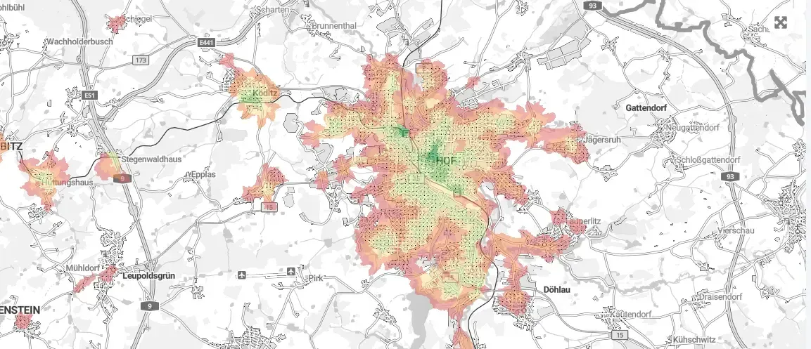
Accessibility to GPs in the outskirts of Dresden Analyzing public transport quality classes in Jena using the GOAT 3.0 toolbox Comparing accessibility to green spaces using the Heatmap indicators in the GOAT toolbox
If you liked this, take a look at
EMILIA - Optimization of intermodal transport in rural areas
The EMILIA project develops digital tools for planning, simulating, and optimizing intermodal transport systems in order to create sustainable and time-efficient mobility solutions in rural areas.
Read the referenceHave a research project that needs this?
Book a slot and we will talk through what GOAT can already do and what it would take.
Ready to make sense of your data?
Join planners, organizations and cities using GOAT to make better decisions, faster. No GIS expertise needed.