
Park-Stark - App for Locating Handicap Parking Spaces
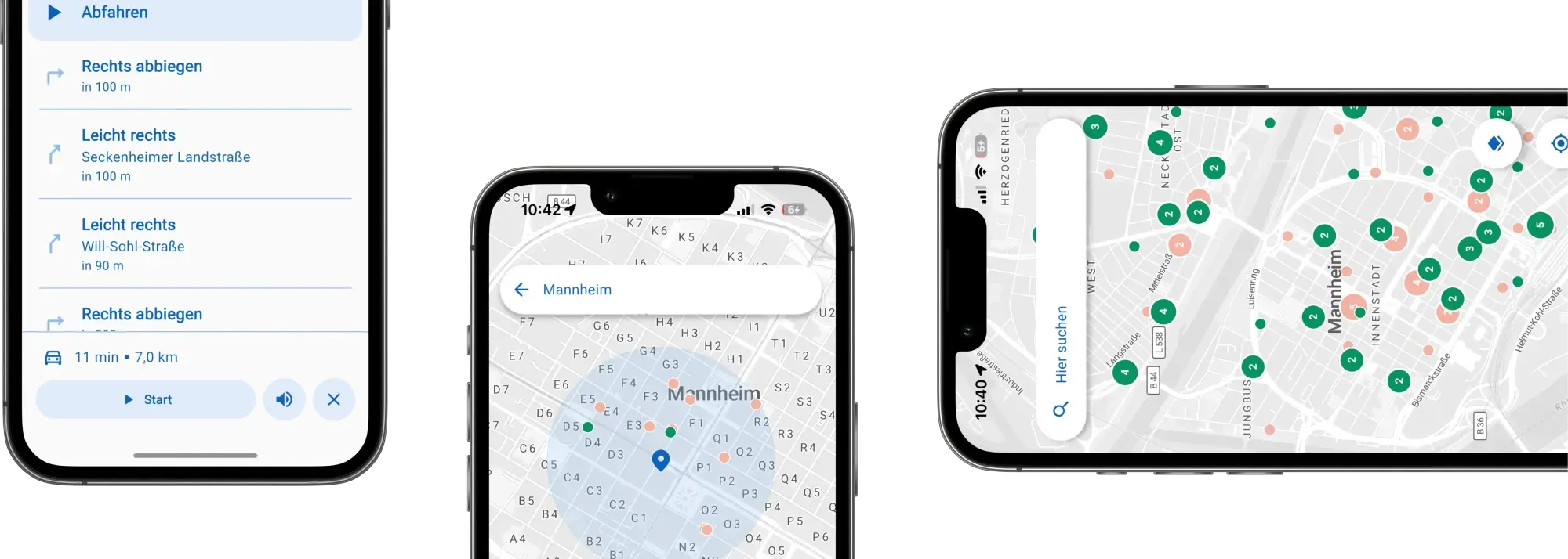
Enhancing mobility for people with disabilities goes beyond physical spaces—it calls for innovative digital tools. Together with the city of Mannheim, we've created an accessible app that provides real-time information on available disabled parking spots and guides users directly to them, fostering greater independence in urban mobility.
General information
- Client
- City of Mannheim
- Period
- 2025
Planning cases
- Develop a navigation app for people with disabilities to locate and access parking spaces.
- Use sensor-based real-time data for accurate parking availability.
- Ensure barrier-free design following accessibility standards (EN 301 549, WCAG 2.2 AA).
- Collaborate closely with user groups for co-creative development and testing.
Overview
In this pilot project we developed a navigation app that helps people with disabilities find and access designated disabled parking spaces for the City of Mannheim. Equipped with sensors on 248 parking spots, the app provides real-time availability and guides users reliably to free spaces. It combines open-source routing technologies with official traffic dataand is designed to be fully accessible, meeting EN 301 549 and WCAG 2.2 AA standards. The app is planned for scalable rollout across the Baden-Württemberg region via the MobiData BW platform.
You can find it on the App Store or on Play Store.
Key Methods & Approach
- Apply an agile development process with iterative testing phases.
- Close collaboration with user groups.
- Development aligned with accessibility standards EN 301 549 and WCAG 2.2 AA.
- Use a modern, cross-platform tech stack based on Flutter, and integrate routing via OpenTripPlanner.
- Use of open dataas well asmunicipal datasources on the availability of parking spots.
- Designed for easy expansion to new functions, features, and cities via MobiData BW.
Features & Accessibility
- Automatically displays user location and surrounding available parking spaces, in a visual and accessible format.
- Supports voice input, address search, and favorite locations.
- Dynamic rerouting if parking availability changesen route.
- Compatible withscreen readers and offers speech control.
- Focus on data protection, security, transparency, and long-term public availability.
App Flowcharts
App Screenshots App Workshop App Flowcharts
If you liked this, take a look at
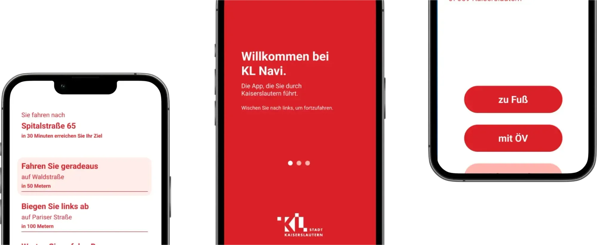
Navi4all - A pilot navigation app for the city of Kaiserlautern
Planning cities today means much more than just arranging streets and buildings; apps decisively shape how we experience urban life. Together with the city of Kaiserslautern, we are creating an app that aims to help blind and visually impaired people navigate the city more easily.
Read the referencePlanning accessible routing in your city?
Book a slot and we will talk through the data and the routing behind an app like this.
Ready to make sense of your data?
Join planners, organizations and cities using GOAT to make better decisions, faster. No GIS expertise needed.