
Cross-border analyses with the WebGIS GOAT at Agglo Basel
Agglo Basel now uses the WebGIS GOAT for cross-border accessibility analyses. To address local requirements, additional data have been integrated into GOAT.
General information
- Client
- Agglomeration Basel
- Period
- 2025 -
Planning cases
- Use of GOAT for accessibility analyses
- Inter-municipal collaboration and reporting
- Modern web mapping
Overview
In the Agglo Basel association, nine local authorities from Germany, France and Switzerland have joined forces to drive the sustainable, integrated development of landscape, settlement and transport across borders.
To carry out cross-border accessibility analyses, Agglo Basel now uses the cloud-based WebGIS GOAT. To meet local requirements, additional data were integrated into GOAT:
Extension of the Public Transport Network
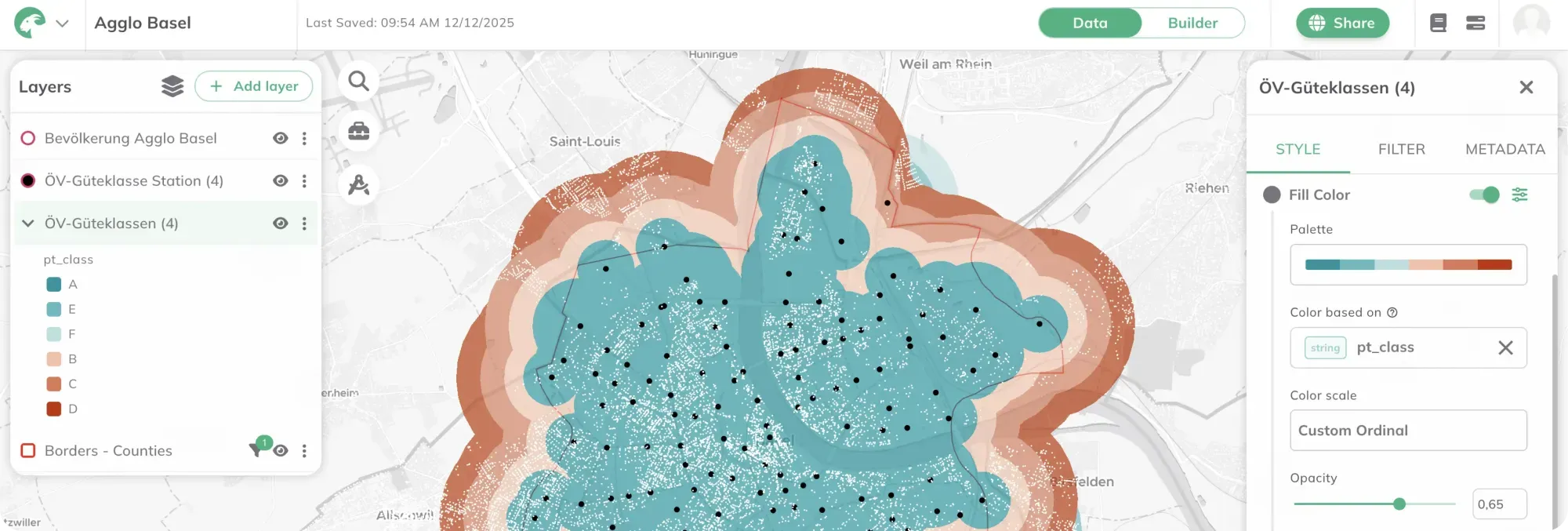
To ensure full coverage of the Agglomeration Basel, GTFS schedule data from both Switzerland and France had to be brought in. These feeds were imported into GOAT’s database and processed—paying particular attention to correctly modelling the cross-border connections contained in the datasets. Once prepared, the data were loaded into GOAT so they can be used directly in indicators and analyses.
Integration and Fusion of Structural Data
**Country-specific structural datasets—population figures and other points of interest—were cleaned, schema-harmonized and merged.**Data were enriched and refined through a series of ETL processes and AI-based methods. The goal of this comprehensive preparation was to establish a single, consistent data foundation for all subsequent analyses across the tri-national agglomeration.
Extension of the indicators calculation area Example of accessibility analysis in Basel
If you liked this, take a look at

Metropolitan Region Rhine-Neckar - GOAT Subscription
GOAT is used as a cross-stakeholder planning platform within the framework of the Smart Region project in the Rhine-Neckar metropolitan region.
Read the referenceWondering how GOAT would fit your team?
Book a slot and we will go through the analyses your department runs most.
Ready to make sense of your data?
Join planners, organizations and cities using GOAT to make better decisions, faster. No GIS expertise needed.