
KLNavi - Building a mobility platform for customizable multimodal routing
For Kaiserslautern, we are developing an innovative routing application called KLNavi for people with mobility impairments. It is based on the experiences from GOAT and utilizes OpenTripPlanner and the Digitransit UI.

General information
- Client
- City of Kaiserslautern
- Period
- 02/2024 - 12/2024
Planning cases
- An easy-to-use routing application for people with mobility limitations, based on open source software and data
- Use of a variety of spatial and mobility data - cadastral data of the city, timetable data of the local transport network, specially prepared geodata
Overview
The developed web application is responsive and uses open source software as well as open data. It is made possible by the integration of various geodata, mobility data, routing algorithms and WebGIS technologies. The main goal is to provide tailor-made routing solutions that meet the specific needs of users. In particular, people with mobility limitations should benefit from alternative route options that are specifically tailored to their needs. For example, physically impaired people or people with strollers may specify that they prefer slightly longer walkways over stairs. Another focus of the application is the visualization of a large number of mobility offers (e.g. public transport stops, bike sharing), which are included in the route calculation. This results in a high degree of personalisation and accuracy of route planning.
You can have a closer look at KLNavihere.
Methodology and implementation:
As in many of our other projects, based on data pipelines from GOAT, a lot of data was refined and used for route calculation. Our approach is characterized by high flexibility. It is aimed at long-term maintenance and can easily be transferred to other cities.
Walking routing Wheelchair routing
If you liked this, take a look at
Park-Stark - App for Locating Handicap Parking Spaces
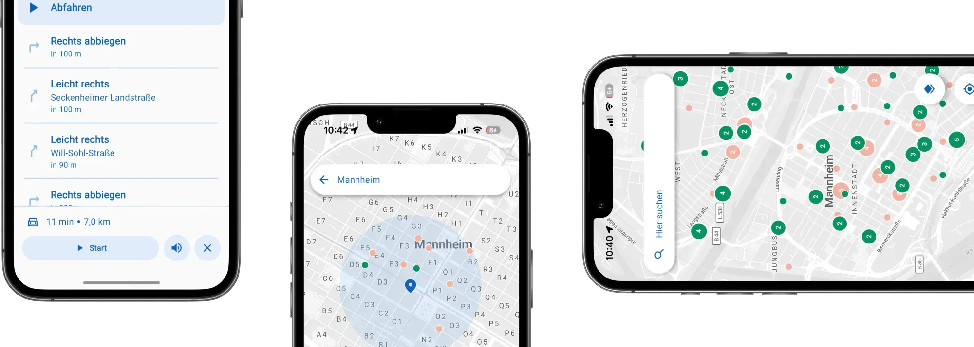
Enhancing mobility for people with disabilities goes beyond physical spaces—it calls for innovative digital tools. Together with the city of Mannheim, we've created an accessible app that provides real-time information on available disabled parking spots and guides users directly to them, fostering greater independence in urban mobility.
Read the referencePlanning accessible routing in your city?
Book a slot and we will talk through the data and the routing behind an app like this.
Ready to make sense of your data?
Join planners, organizations and cities using GOAT to make better decisions, faster. No GIS expertise needed.