
Urban Mobility Score (Map4Citizens)
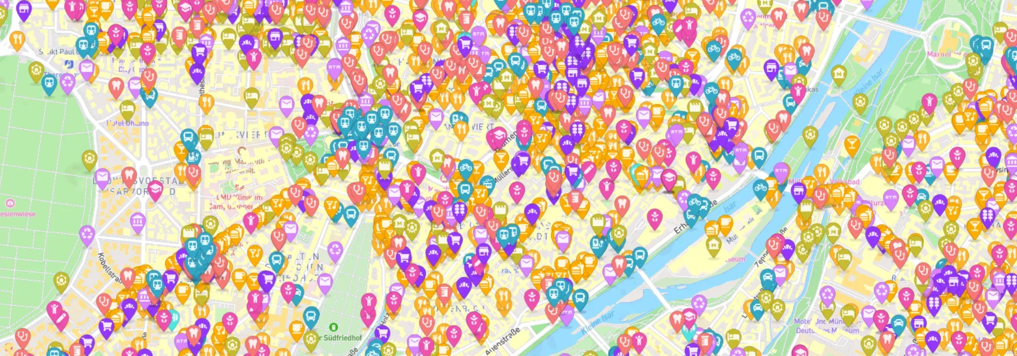
In order to support citizens in making sustainable mobility decisions, a citizens’ GIS was developed around the theme of the 15-minute city.
General information
- Client
- EIT Urban Mobility
- Period
- 2022 - 2024
Planning cases
- Development of a citizens' GIS on the topic of the 15-minute city
Overview
In cooperation with the TUM Chair of Urban Structure and Transport Planning and Humankind, we developed the citizen GIS “Map4Citizens”. The aim of the project was to close the information gap between citizens and planners by opening up data and providing reliable and easy-to-understand mobility analyses for everyone. As part of our project, we developed a mobile-enabled, web-based application that allows users to quickly get an overview of important mobility-related parameters in their city and neighbourhood.
Individual analyses for the 15-minute-city
Link to the application:
Blogpost about this project:
Map4Citizen 15-Min-City Score Map Individual analyses for the 15-minute-city
If you liked this, take a look at
Citizen Mobility
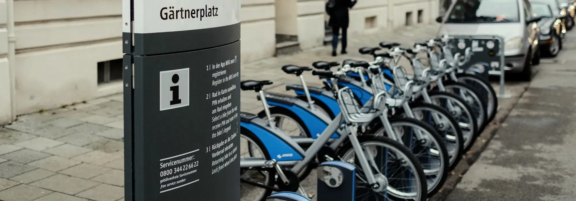
GOAT was used as part of the “Citizen Mobility” project to plan new mobility stations in Munich.
Read the referenceSiting mobility stations, or scoring a 15-minute city?
Book a slot and we will run the question you actually have on your own area.
Ready to make sense of your data?
Join planners, organizations and cities using GOAT to make better decisions, faster. No GIS expertise needed.