
Back to the Gallery Map Gallery
Vienna's 137,000 Street Trees — and Where the Shade Runs Out
Vienna has around 137,000 street trees — but some districts have eight times more than others. This map shows where the street canopy gives shade, and where it doesn't.
Vienna has around 137,000 street trees — an average of 3.96 for every 100 metres of street. But that average hides a sharp divide: some districts have up to eight times more than others. On a cool day that’s an aesthetic difference. As the city keeps getting hotter, it becomes a question of which streets stay walkable and which turn into heat traps.
A note on the data: this map counts Vienna’s street trees from the city’s public tree register, along roads and paths. It doesn’t capture trees in parks, courtyards, private gardens, or cemeteries, and any register lags slightly behind reality as trees are planted or removed. So read it as a map of the street canopy specifically — not every tree in the city — but as a picture of where the street network offers shade, and where it doesn’t, it’s a telling one.
More maps to explore
- Energy
- Sustainability & Climate Risk
- Cities & Government
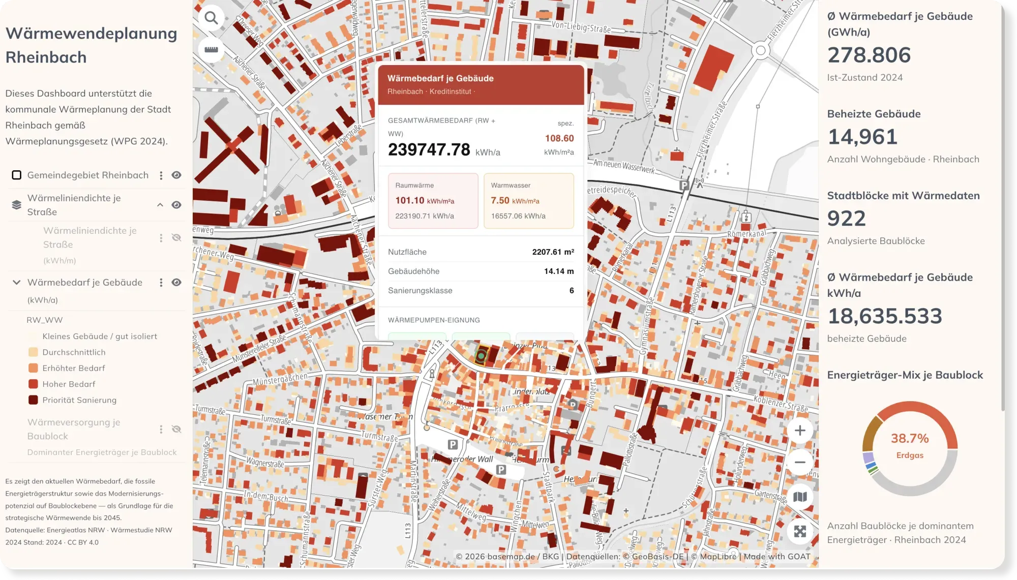
Municipal Heat Planning: Heat Demand & Retrofit Priorities in Rheinbach
Germany's Heat Planning Act gives every municipality a deadline to plan its heat transition. This dashboard maps building-level heat demand, the energy mix, and retrofit priorities for Rheinbach.
See the map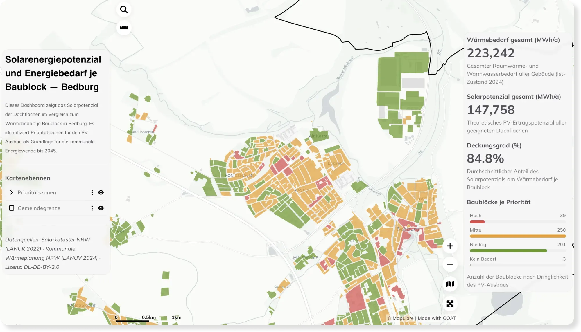
- Energy
- Sustainability & Climate Risk
Rooftop Solar Potential vs. Energy Demand per Block — Bedburg
How much energy could a city's rooftops cover? This dashboard compares rooftop solar potential with heat demand per block in Bedburg, revealing priority zones for solar expansion.
See the map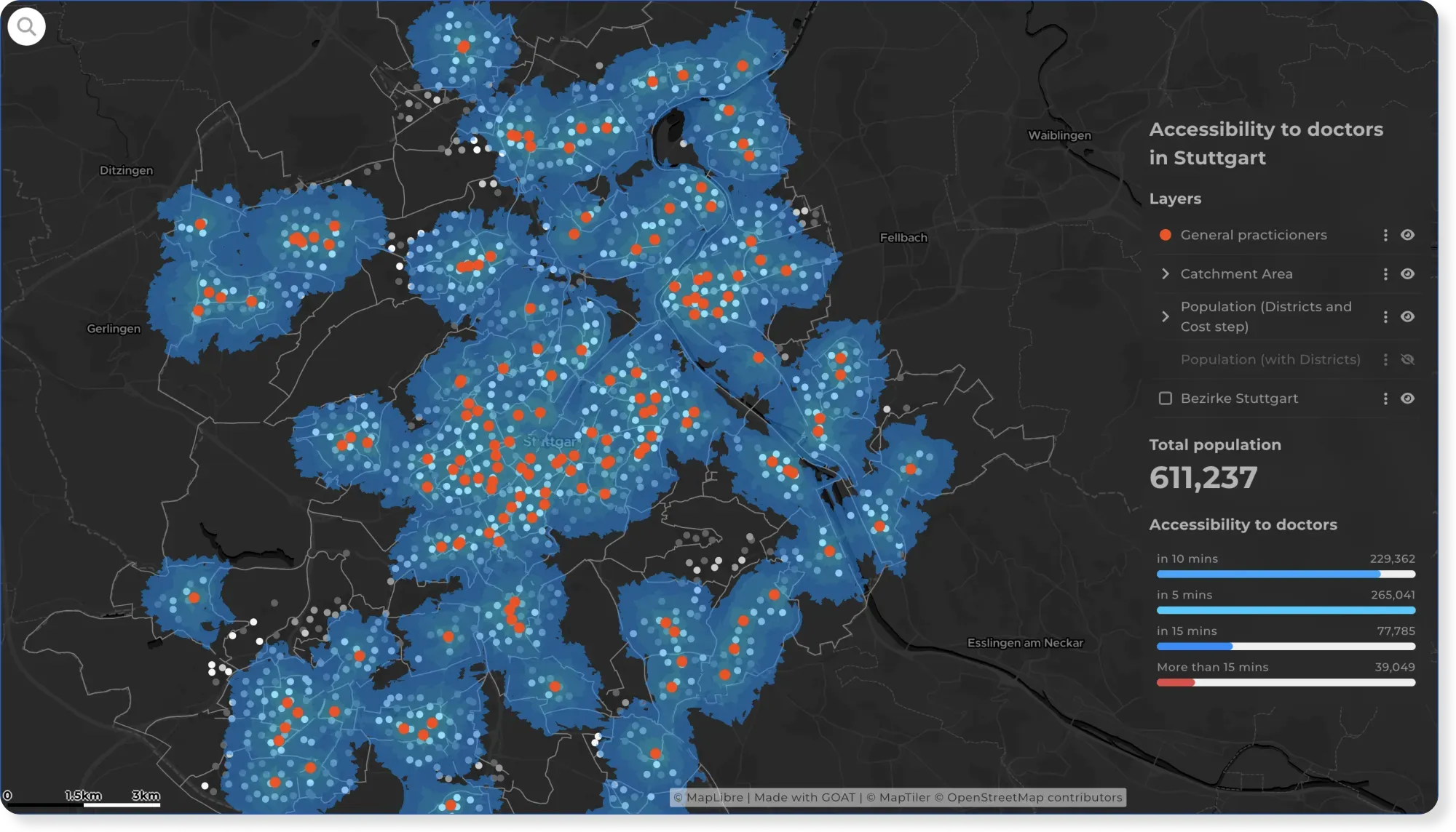
- Healthcare
- Cities & Government
How Easily Can Stuttgart Residents Reach a Doctor?
Reaching a doctor shouldn't depend on where you live. This map shows travel time to GPs across Stuttgart, reveals the areas left underserved, and suggests where new practices should go.
See the map
Ready to make sense of your data?
Join planners, organizations and cities using GOAT to make better decisions, faster. No GIS expertise needed.